Channel & Berth Profile
Pilotage, Tugs & Services
Pilotage compulsoryYES
Pilotage availableYES
Potable waterYES
MedicalYES
Garbage disposalYES
Facilities & Capabilities
Container—
Ro-Ro—
Liquid bulk—
Dry bulk—
Oil terminal—
Break bulk—
Dry dock—
RepairsNO
BunkeringYES
Rail link—
Dangerous cargo—
ISPS security—
Harbour Specifications
Harbour size
Small
Harbour type
Coastal (Breakwater)
Shelter
Good
Water body
Gulf of California; North Pacific Ocean
Overhead limit
No
Pilotage
Yes
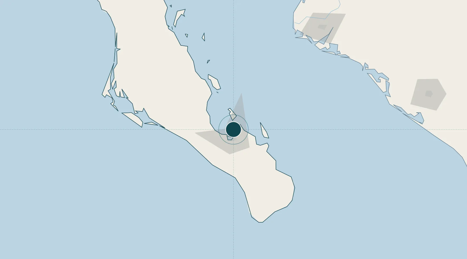
Location
Nearby Logistics Neighbours
Ports
- 1La Paz11 km
- 2San Juan De La Costa40 km
- 3Topolobampo196 km
- 4Isla San Marcos369 km
- 5Santa Rosalia393 km
Cities
- 1La Paz15 km
- 2San Jose del Cabo151 km
- 3Cabo San Lucas161 km
- 4Topolobampo197 km
- 5Guasave239 km
Airports
Trade Zones
- 1FTZ No. 060 Nogales790 km
- 2FTZ No. 139 Sierra Vista810 km
- 3FTZ No. 174 Pima County894 km
- 4FTZ No. 068 El Paso925 km
- 5FTZ No. 150 El Paso925 km
DatabookThe Record of Consolidated Knowledge
Mexico beyond logistics?