Foreign Trade Zone · United States

FTZ No. 139 Sierra Vista Active

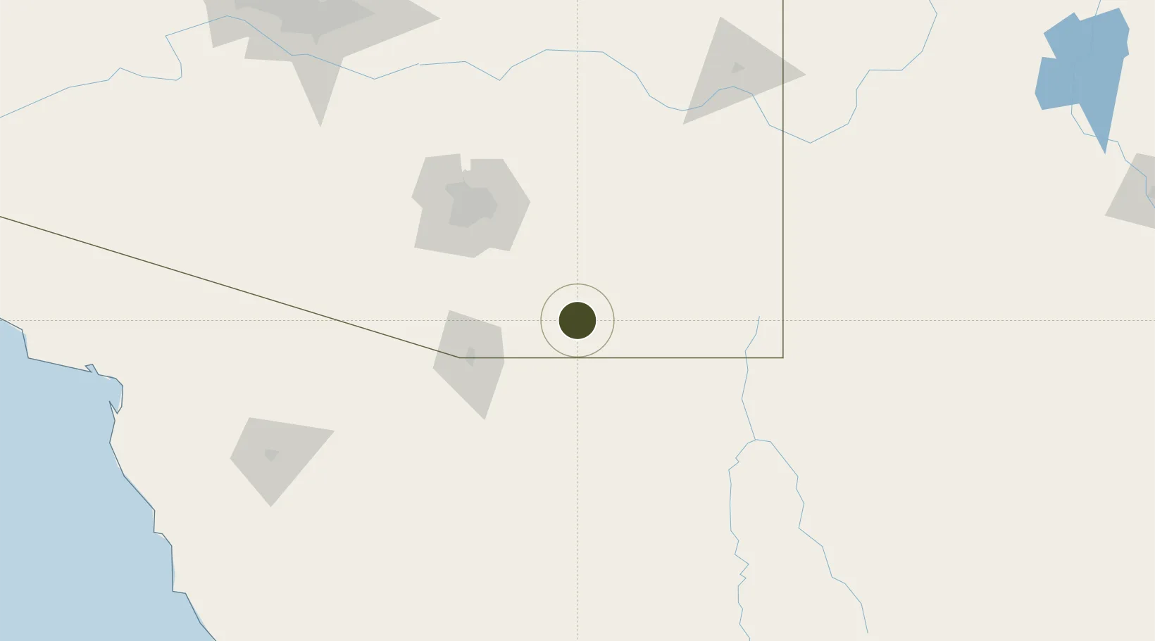
31.5536°, -110.2932°
408.9 km
Nearest port
6.4 km
Nearest airport

Gateway access

Nearest neighbours — logibook spatial index (haversine) over the source coordinates

Zone profile

Zone type
Foreign Trade Zone
Open Zone Map
Region
Arizona
Open Zone Map
Status
Active
Open Zone Map
Management
Public-Private Partnership
Open Zone Map
Operator
Arizona Regional Economic Development Foundation
Open Zone Map
Legal framework
Foreign-Trade Zones Act
Open Zone Map

Location

Location of ozm-4953
Natural Earth 10m (public domain) · Arizona · ozm-4953 · 31.55, -110.29GoogleOSMYandex

Nearby Logistics Neighbours

Ports
  1. 1Guaymas409 km
  2. 2Santa Rosalia507 km
  3. 3Isla San Marcos517 km
  4. 4Ensenada601 km
  5. 5Puerto Morro Redondo612 km
Nearest neighbours — logibook spatial index (haversine) over the source coordinates
Airports
  1. 1Sierra Vista Municipal Airport / Libby Army Air Field6 km
  2. 2Nogales International Airport55 km
  3. 3Bisbee Douglas International Airport66 km
  4. 4Nogales International Airport74 km
  5. 5Tucson International Airport87 km
Nearest neighbours — logibook spatial index (haversine) over the source coordinates
Cities
  1. 1Tombstone28 km
  2. 2Cananea63 km
  3. 3Vail68 km
  4. 4Cochise70 km
  5. 5Tubac72 km
Nearest neighbours — logibook spatial index (haversine) over the source coordinates
Trade Zones
  1. 1FTZ No. 060 Nogales65 km
  2. 2FTZ No. 174 Pima County102 km
  3. 3FTZ No. 221 Mesa252 km
  4. 4FTZ No. 075 Phoenix269 km
  5. 5FTZ No. 277 Western Maricopa County287 km
Nearest neighbours — logibook spatial index (haversine) over the source coordinates
DatabookThe Record of Consolidated Knowledge
United States beyond logistics?
Browse databook

All Sources

Trade ZonesOpen Zone Map
CC BY
Portsthe NGA World Port Index
Public domain (US gov)
AirportsOurAirports
Public domain
LocationsUN/LOCODE
UN/LOCODE — free
← United States trade zones