Large airport · Mexico
Bachigualato Federal International AirportMMCL
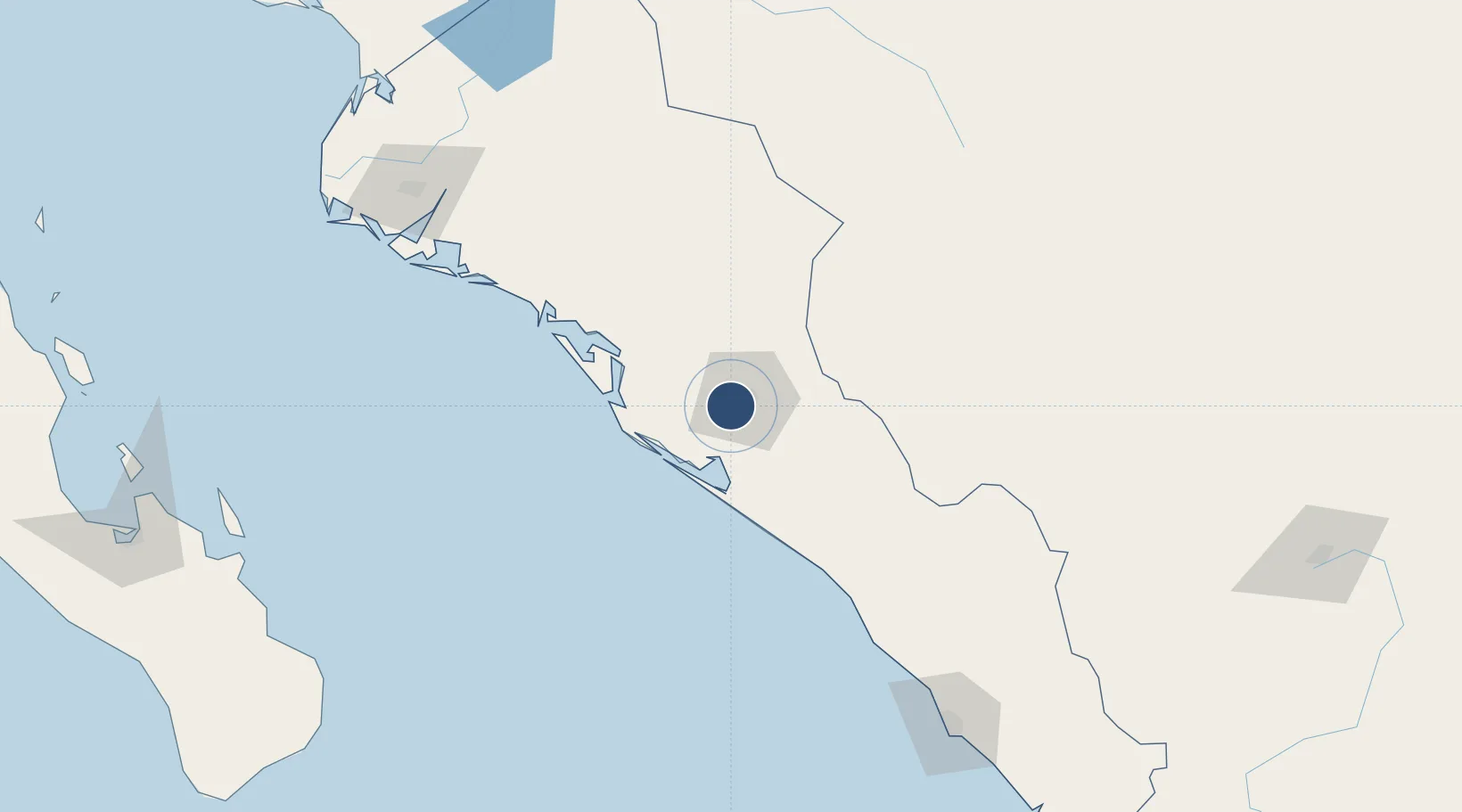
24.7650°, -107.4752°
7,365 ft
Longest runway
1
Runways
108 ft
Elevation
Runway & Layout

Radio Frequencies
ATIS
127.8 MHz
TWR
118.5 MHz
APP
119.75 MHz
Navaids
CUL VOR-DME Culiacan 112.20 MHz
Runways · 1
| Runway | Dimensions | Surface | True heading | Lit |
|---|---|---|---|---|
| 03/21 | 7,365 × 148ft | Asphalt | 033° | ✓ |
Airport Specifications
IATA code
CUL
ICAO code
MMCL
Airport class
Large airport
Scheduled service
Yes
Runway surface
Asphalt
Served city
Culiacán
Location
Nearby Logistics Neighbours
Airports
Cities
- 1Culiacán10 km
- 2Tamaulipas19 km
- 3Guamúchil100 km
- 4Guasave133 km
- 5Topolobampo184 km
Ports
- 1Topolobampo185 km
- 2Mazatlan205 km
- 3Pichilingue294 km
- 4La Paz295 km
- 5San Juan De La Costa329 km
Trade Zones
- 1FTZ No. 068 El Paso792 km
- 2FTZ No. 150 El Paso792 km
- 3FTZ No. 139 Sierra Vista804 km
- 4FTZ No. 060 Nogales807 km
- 5FTZ No. 096 Eagle Pass819 km
DatabookThe Record of Consolidated Knowledge
Mexico beyond logistics?