Transport Functions
Rail
Road
Airport
Hub Profile
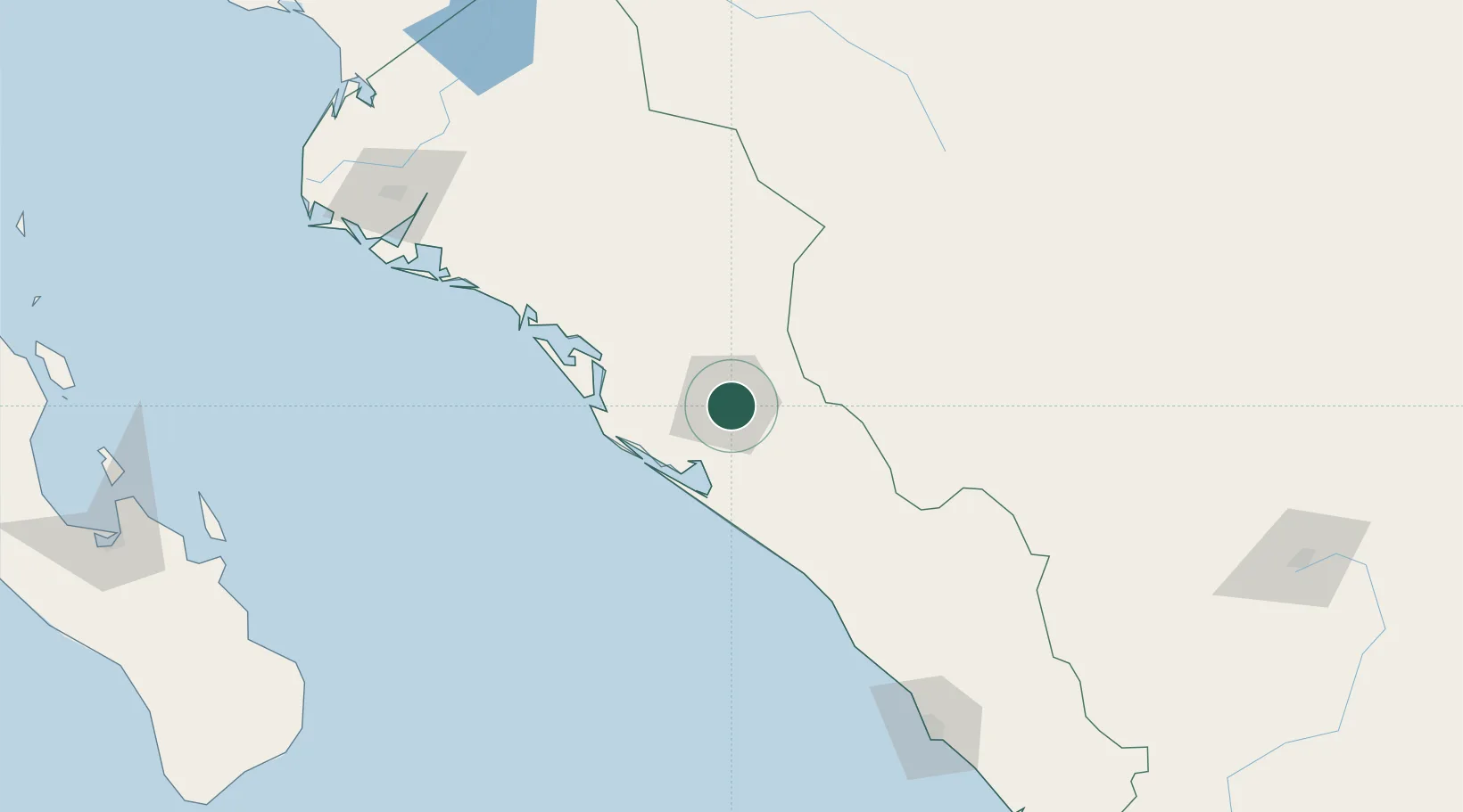
Place type
Regional capital
Region
Sinaloa
Population
808,416
Time zone
America/Mazatlan
Elevation
47 m
Location
Nearby Logistics Neighbours
Cities
- 1Tamaulipas24 km
- 2Guamúchil105 km
- 3Guasave138 km
- 4Puerta190 km
- 5Topolobampo191 km
Ports
- 1Topolobampo192 km
- 2Mazatlan202 km
- 3Pichilingue304 km
- 4La Paz305 km
- 5San Juan De La Costa338 km
Airports
Trade Zones
- 1FTZ No. 068 El Paso789 km
- 2FTZ No. 150 El Paso789 km
- 3FTZ No. 139 Sierra Vista805 km
- 4FTZ No. 060 Nogales809 km
- 5FTZ No. 096 Eagle Pass810 km
DatabookThe Record of Consolidated Knowledge
Mexico beyond logistics?