UN/LOCODE hub · Mexico
MXGSV

Guasave

25.5667°, -108.4500°
71,196
Population
3
Transport functions

Transport Functions

Port
Road
Multimodal
UN/LOCODE

Hub Profile

Place type
Provincial seat
GeoNames
Region
Sinaloa
GeoNames
Population
71,196
GeoNames
Time zone
America/Mazatlan
GeoNames
Elevation
19 m
GeoNames

Location

Location of MXGSV
Natural Earth 10m (public domain) · Sinaloa · MXGSV · 25.57, -108.45GoogleOSMYandex

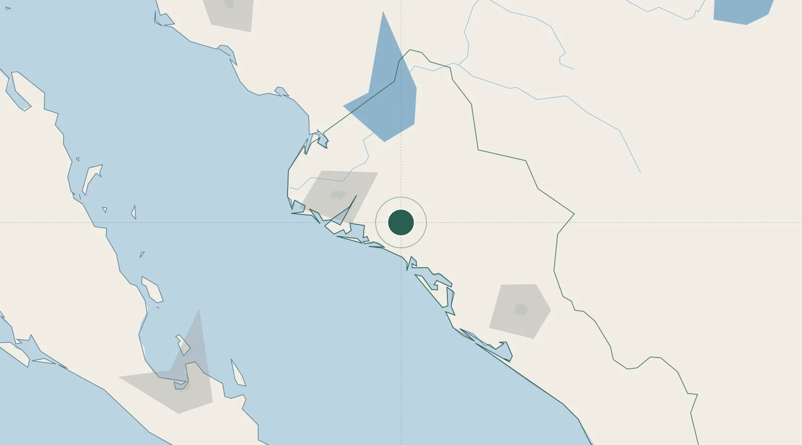
Nearby Logistics Neighbours

Cities
  1. 1Guamúchil37 km
  2. 2Topolobampo60 km
  3. 3Tamaulipas114 km
  4. 4Culiacán138 km
  5. 5Pichilingue235 km
Nearest neighbours — logibook spatial index (haversine) over the source coordinates
Ports
  1. 1Topolobampo62 km
  2. 2Pichilingue239 km
  3. 3La Paz244 km
  4. 4San Juan De La Costa261 km
  5. 5Mazatlan334 km
Nearest neighbours — logibook spatial index (haversine) over the source coordinates
Trade Zones
  1. 1FTZ No. 060 Nogales687 km
  2. 2FTZ No. 139 Sierra Vista690 km
  3. 3FTZ No. 068 El Paso724 km
  4. 4FTZ No. 150 El Paso724 km
  5. 5FTZ No. 197 Dona Ana County769 km
Nearest neighbours — logibook spatial index (haversine) over the source coordinates
DatabookThe Record of Consolidated Knowledge
Mexico beyond logistics?
Browse databook

All Sources

LocationsUN/LOCODE
UN/LOCODE — free
LocationsGeoNames
CC BY 4.0
Portsthe NGA World Port Index
Public domain (US gov)
AirportsOurAirports
Public domain
Trade Zonesthe World Bank SEZ database
CC BY 4.0
Trade ZonesOpen Zone Map
CC BY
← Mexico locations