Seaport · Mexico

La PazMXLAP

24.1667°, -110.3167°
1.8 m
Channel depth
17.0
Port liner connectivity
La Paz is also a UN/LOCODE logistics hub →

Channel & Berth Profile

SEA LEVEL (CD)CHANNEL BEDChannel · 1.8 mCargo pier · 7.9 mOil terminal · 9.4 mAnchorage · 17.1 m
NGA World Port Index

Pilotage, Tugs & Services

Pilotage compulsoryYES
Pilotage availableYES
Tug assistanceYES
Salvage tugsNO
Shore powerYES
Potable waterYES
MedicalYES
Garbage disposalYES
NGA World Port Index

Facilities & Capabilities

Container
Ro-Ro
Liquid bulk
Dry bulk
Oil terminal
Break bulk
Dry dock
RepairsNO
Bunkering
Rail link
Dangerous cargo
ISPS security
NGA World Port Index

Harbour Specifications

Harbour size
Small
NGA World Port Index
Harbour type
Coastal (Natural)
NGA World Port Index
Shelter
Good
NGA World Port Index
Water body
Gulf of California; North Pacific Ocean
NGA World Port Index
Tidal range
4 m
NGA World Port Index
Pilotage
Yes
NGA World Port Index

Liner Connectivity

17
PLSCI

Port Liner Shipping Connectivity Index for La Paz, as published by UNCTAD for the latest available quarter. Higher values indicate stronger scheduled liner-shipping integration.

Shown relative to the highest per-port PLSCI in the dataset (1,657.9).
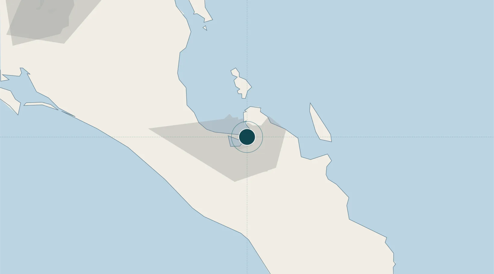
UNCTAD · Port Liner Shipping Connectivity Index

Location

Location of MXLAP
Natural Earth 10m (public domain) · Baja California Sur · MXLAP · 24.17, -110.32GoogleOSMYandex

Nearby Logistics Neighbours

Ports
  1. 1Pichilingue11 km
  2. 2San Juan De La Costa47 km
  3. 3Topolobampo203 km
  4. 4Isla San Marcos380 km
  5. 5Santa Rosalia403 km
Nearest neighbours — logibook spatial index (haversine) over the source coordinates
Cities
  1. 1Pichilingue15 km
  2. 2San Jose del Cabo140 km
  3. 3Cabo San Lucas149 km
  4. 4Topolobampo204 km
  5. 5Guasave244 km
Nearest neighbours — logibook spatial index (haversine) over the source coordinates
Airports
  1. 1Manuel Márquez de León International Airport12 km
  2. 2Los Cabos International Airport128 km
  3. 3Cabo San Lucas International Airport141 km
  4. 4Ciudad Constitución National Airport164 km
  5. 5Valle del Fuerte International Airport210 km
Nearest neighbours — logibook spatial index (haversine) over the source coordinates
Trade Zones
  1. 1FTZ No. 060 Nogales801 km
  2. 2FTZ No. 139 Sierra Vista821 km
  3. 3FTZ No. 174 Pima County905 km
  4. 4FTZ No. 068 El Paso935 km
  5. 5FTZ No. 150 El Paso935 km
Nearest neighbours — logibook spatial index (haversine) over the source coordinates
DatabookThe Record of Consolidated Knowledge
Mexico beyond logistics?
Browse databook

All Sources

Portsthe NGA World Port Index
Public domain (US gov)
Logistics performanceUNCTAD
CC BY 3.0 IGO
AirportsOurAirports
Public domain
LocationsUN/LOCODE
UN/LOCODE — free
Trade Zonesthe World Bank SEZ database
CC BY 4.0
Trade ZonesOpen Zone Map
CC BY
← Mexico ports