Medium airport · Mexico
Ciudad Obregón International AirportMMCN
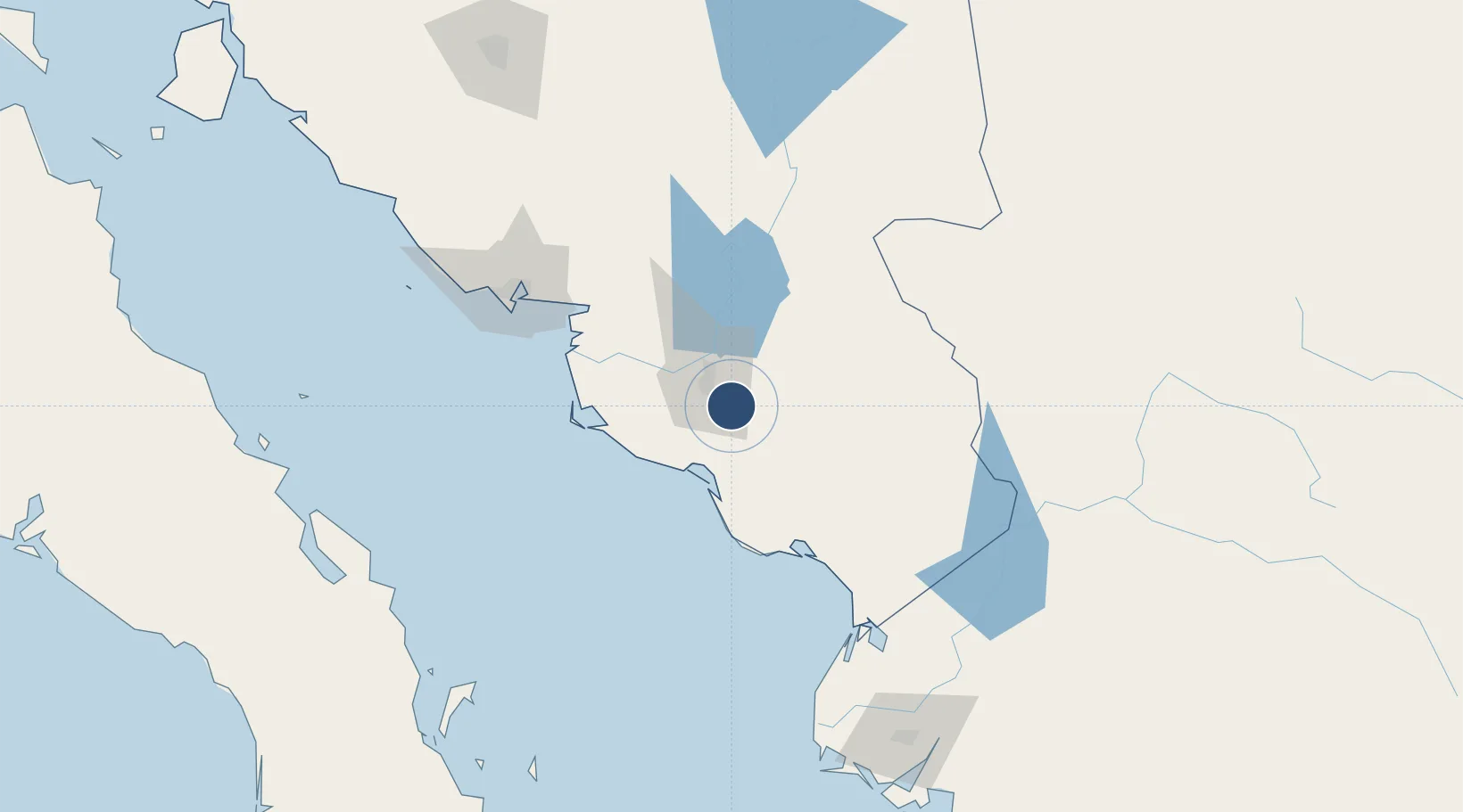
27.3926°, -109.8330°
7,546 ft
Longest runway
1
Runways
243 ft
Elevation
Runway & Layout

Radio Frequencies
ATIS
127.6 MHz
TWR
118.3 MHz
OBREGON TWR
APP
121.3 MHz
Navaids
CEN VOR-DME Obregon 115.10 MHz
Runways · 1
| Runway | Dimensions | Surface | True heading | Lit |
|---|---|---|---|---|
| 13/31 | 7,546 × 148ft | Asphalt | 137° | ✓ |
Airport Specifications
IATA code
CEN
ICAO code
MMCN
Airport class
Medium airport
Scheduled service
Yes
Runway surface
Asphalt
Served city
Ciudad Obregón
Location
Nearby Logistics Neighbours
Airports
Cities
- 1Empalme116 km
- 2Guaymas118 km
- 3Topolobampo214 km
- 4Isla San Marcos225 km
- 5Guasave245 km
Ports
- 1Guaymas122 km
- 2Topolobampo213 km
- 3Isla San Marcos225 km
- 4Santa Rosalia242 km
- 5San Juan De La Costa344 km
Trade Zones
- 1FTZ No. 060 Nogales452 km
- 2FTZ No. 139 Sierra Vista465 km
- 3FTZ No. 174 Pima County555 km
- 4FTZ No. 068 El Paso595 km
- 5FTZ No. 150 El Paso595 km
DatabookThe Record of Consolidated Knowledge
Mexico beyond logistics?