Medium airport · Mexico

Manuel Márquez de León International AirportMMLP

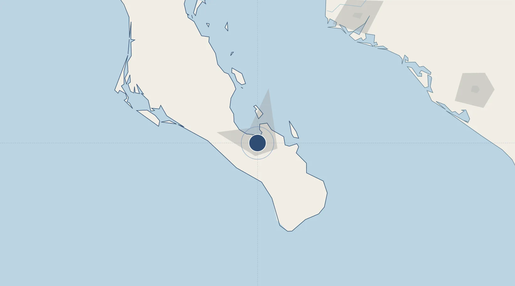
24.0723°, -110.3627°
8,202 ft
Longest runway
1
Runways
69 ft
Elevation

Runway & Layout

Manuel Márquez de León International Airport runway & taxiway layout
Runway & taxiway layout — OpenStreetMap (ODbL) / OurAirports

Radio Frequencies

ATIS
127.9 MHz
TWR
118.1 MHz
LA PAZ TWR
APP
120.6 MHz
LA PAZ APP
OurAirports

Navaids

LAP VOR-DME La Paz 112.30 MHz
LAP NDB La Paz 300 kHz
OurAirports

Runways · 1

RunwayDimensions SurfaceTrue headingLit
18/36 8,202 × 148ft Concrete 188°
OurAirports

Airport Specifications

IATA code
LAP
OurAirports
ICAO code
MMLP
OurAirports
Airport class
Medium airport
OurAirports
Scheduled service
Yes
OurAirports
Runway surface
Concrete
OurAirports
Served city
La Paz
OurAirports

Location

Location of MMLP
Natural Earth 10m (public domain) · Baja California Sur · MMLP · 24.07, -110.36GoogleOSMYandex

Nearby Logistics Neighbours

Airports
  1. 1Los Cabos International Airport122 km
  2. 2Cabo San Lucas International Airport132 km
  3. 3Ciudad Constitución National Airport167 km
  4. 4Valle del Fuerte International Airport221 km
  5. 5Loreto International Airport235 km
Nearest neighbours — logibook spatial index (haversine) over the source coordinates
Cities
  1. 1La Paz9 km
  2. 2Pichilingue26 km
  3. 3San Jose del Cabo133 km
  4. 4Cabo San Lucas141 km
  5. 5Topolobampo215 km
Nearest neighbours — logibook spatial index (haversine) over the source coordinates
Ports
  1. 1La Paz12 km
  2. 2Pichilingue22 km
  3. 3San Juan De La Costa50 km
  4. 4Topolobampo214 km
  5. 5Isla San Marcos387 km
Nearest neighbours — logibook spatial index (haversine) over the source coordinates
Trade Zones
  1. 1FTZ No. 060 Nogales811 km
  2. 2FTZ No. 139 Sierra Vista832 km
  3. 3FTZ No. 174 Pima County915 km
  4. 4FTZ No. 068 El Paso946 km
  5. 5FTZ No. 150 El Paso946 km
Nearest neighbours — logibook spatial index (haversine) over the source coordinates
DatabookThe Record of Consolidated Knowledge
Mexico beyond logistics?
Browse databook

All Sources

AirportsOurAirports
Public domain
Portsthe NGA World Port Index
Public domain (US gov)
LocationsUN/LOCODE
UN/LOCODE — free
Trade Zonesthe World Bank SEZ database
CC BY 4.0
Trade ZonesOpen Zone Map
CC BY
InfrastructureOpenStreetMap
ODbL 1.0
← Mexico airports