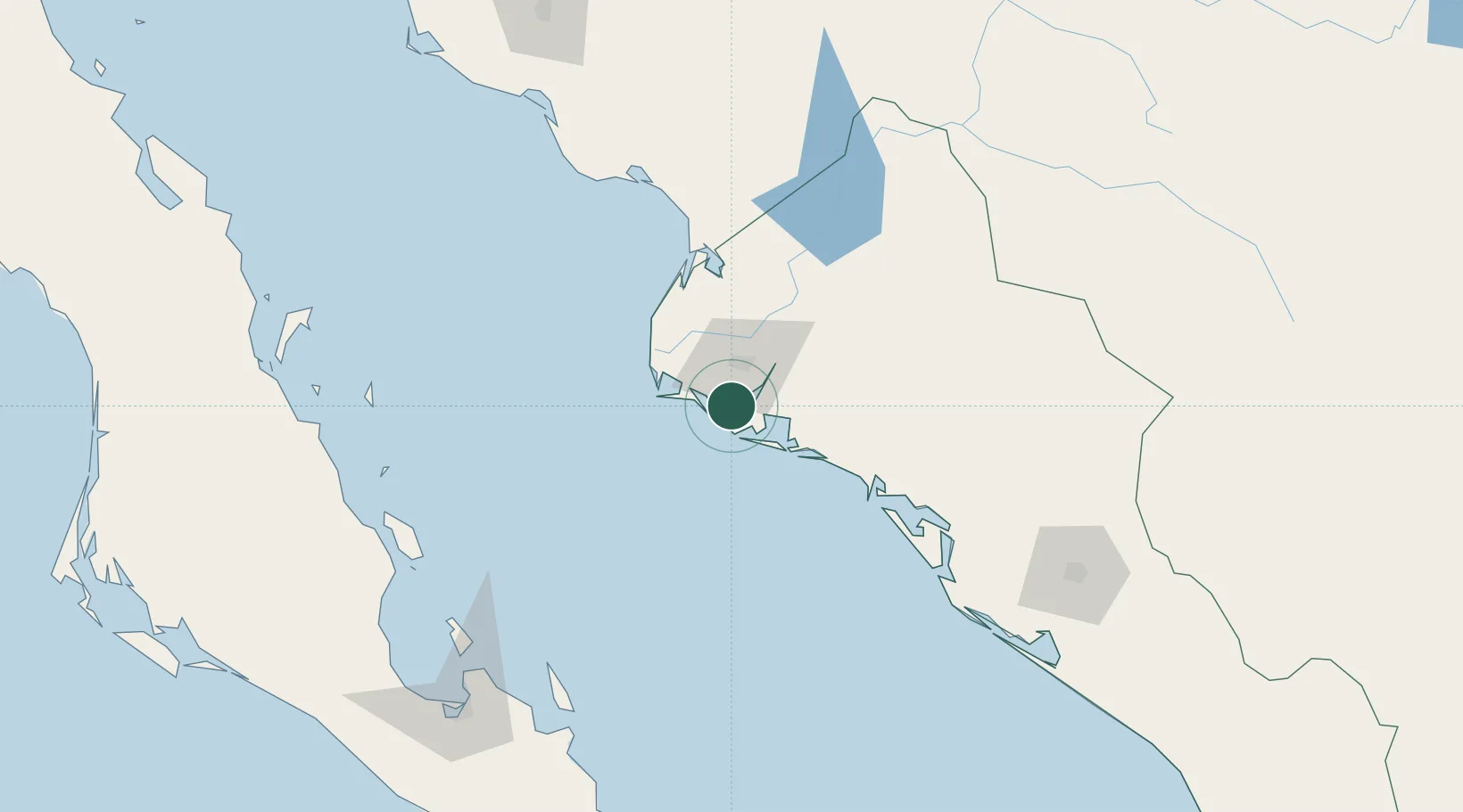
UN/LOCODE hub · Mexico
MXTPB

Topolobampo

25.6000°, -109.0500°
6,361
Population
1
Transport functions

Transport Functions

Port
Topolobampo is also a profiled seaport →
UN/LOCODE

Hub Profile

Place type
Populated place
GeoNames
Region
Sinaloa
GeoNames
Population
6,361
GeoNames
Time zone
America/Mazatlan
GeoNames
Elevation
2 m
GeoNames

Location

Location of MXTPB
Natural Earth 10m (public domain) · Sinaloa · MXTPB · 25.60, -109.05GoogleOSMYandex

Nearby Logistics Neighbours

Cities
  1. 1Guasave60 km
  2. 2Guamúchil97 km
  3. 3Tamaulipas167 km
  4. 4Culiacán191 km
  5. 5Pichilingue193 km
Nearest neighbours — logibook spatial index (haversine) over the source coordinates
Ports
  1. 1Pichilingue197 km
  2. 2La Paz204 km
  3. 3San Juan De La Costa213 km
  4. 4Guaymas317 km
  5. 5Isla San Marcos351 km
Nearest neighbours — logibook spatial index (haversine) over the source coordinates
Trade Zones
  1. 1FTZ No. 060 Nogales665 km
  2. 2FTZ No. 139 Sierra Vista673 km
  3. 3FTZ No. 068 El Paso739 km
  4. 4FTZ No. 150 El Paso739 km
  5. 5FTZ No. 174 Pima County766 km
Nearest neighbours — logibook spatial index (haversine) over the source coordinates
DatabookThe Record of Consolidated Knowledge
Mexico beyond logistics?
Browse databook

All Sources

LocationsUN/LOCODE
UN/LOCODE — free
LocationsGeoNames
CC BY 4.0
Portsthe NGA World Port Index
Public domain (US gov)
AirportsOurAirports
Public domain
Trade Zonesthe World Bank SEZ database
CC BY 4.0
Trade ZonesOpen Zone Map
CC BY
← Mexico locations