Foreign Trade Zone · United States

FTZ No. 174 Pima County Active

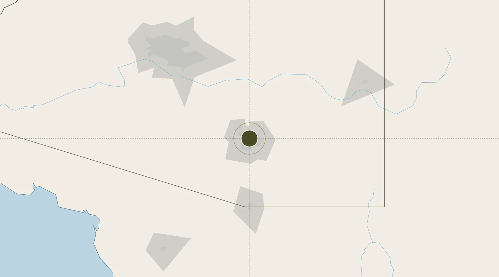
32.2874°, -110.9421°
486.0 km
Nearest port
14.5 km
Nearest airport

Gateway access

Nearest neighbours — logibook spatial index (haversine) over the source coordinates

Zone profile

Zone type
Foreign Trade Zone
Open Zone Map
Region
Arizona
Open Zone Map
Status
Active
Open Zone Map
Management
Public-Private Partnership
Open Zone Map
Operator
Sun Corridor Inc.
Open Zone Map
Legal framework
Foreign-Trade Zones Act
Open Zone Map

Location

Location of ozm-4967
Natural Earth 10m (public domain) · Arizona · ozm-4967 · 32.29, -110.94GoogleOSMYandex

Nearby Logistics Neighbours

Ports
  1. 1Guaymas486 km
  2. 2Ensenada538 km
  3. 3Santa Rosalia566 km
  4. 4Isla San Marcos578 km
  5. 5Rosarito579 km
Nearest neighbours — logibook spatial index (haversine) over the source coordinates
Airports
  1. 1Davis Monthan Air Force Base15 km
  2. 2Tucson International Airport19 km
  3. 3Sierra Vista Municipal Airport / Libby Army Air Field96 km
  4. 4Nogales International Airport97 km
  5. 5Nogales International Airport118 km
Nearest neighbours — logibook spatial index (haversine) over the source coordinates
Cities
  1. 1South Tucson12 km
  2. 2Tucson20 km
  3. 3Tucson International Apt20 km
  4. 4Vail34 km
  5. 5Sahuarita38 km
Nearest neighbours — logibook spatial index (haversine) over the source coordinates
Trade Zones
  1. 1FTZ No. 139 Sierra Vista102 km
  2. 2FTZ No. 060 Nogales105 km
  3. 3FTZ No. 221 Mesa150 km
  4. 4FTZ No. 075 Phoenix167 km
  5. 5FTZ No. 277 Western Maricopa County185 km
Nearest neighbours — logibook spatial index (haversine) over the source coordinates
DatabookThe Record of Consolidated Knowledge
United States beyond logistics?
Browse databook

All Sources

Trade ZonesOpen Zone Map
CC BY
Portsthe NGA World Port Index
Public domain (US gov)
AirportsOurAirports
Public domain
LocationsUN/LOCODE
UN/LOCODE — free
← United States trade zones