Small airport · Mexico
Camaguey-Campo Cuatro Milpas AirportMM52
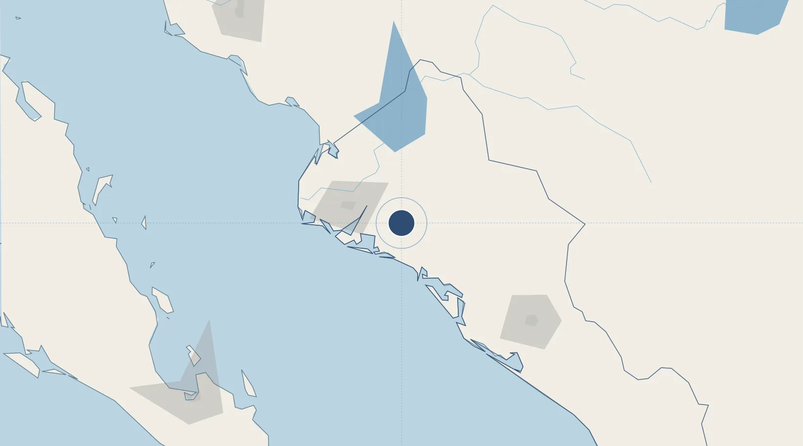
25.6522°, -108.5380°
6,460 ft
Longest runway
1
Runways
92 ft
Elevation
Runway & Layout

Runways · 1
| Runway | Dimensions | Surface | True heading | Lit |
|---|---|---|---|---|
| 09/27 | 6,460 × 80ft | Asphalt | 092° | — |
Airport Specifications
Airport class
Small airport
Scheduled service
Yes
Runway surface
Asphalt
Served city
Guasave
Location
Nearby Logistics Neighbours
Airports
Cities
- 1Guasave13 km
- 2Guamúchil49 km
- 3Topolobampo52 km
- 4Tamaulipas127 km
- 5Culiacán151 km
Ports
- 1Topolobampo53 km
- 2Pichilingue238 km
- 3La Paz244 km
- 4San Juan De La Costa259 km
- 5Guaymas345 km
Trade Zones
- 1FTZ No. 060 Nogales675 km
- 2FTZ No. 139 Sierra Vista678 km
- 3FTZ No. 068 El Paso718 km
- 4FTZ No. 150 El Paso718 km
- 5FTZ No. 197 Dona Ana County761 km
DatabookThe Record of Consolidated Knowledge
Mexico beyond logistics?