Transport Functions
Port
Road
Hub Profile
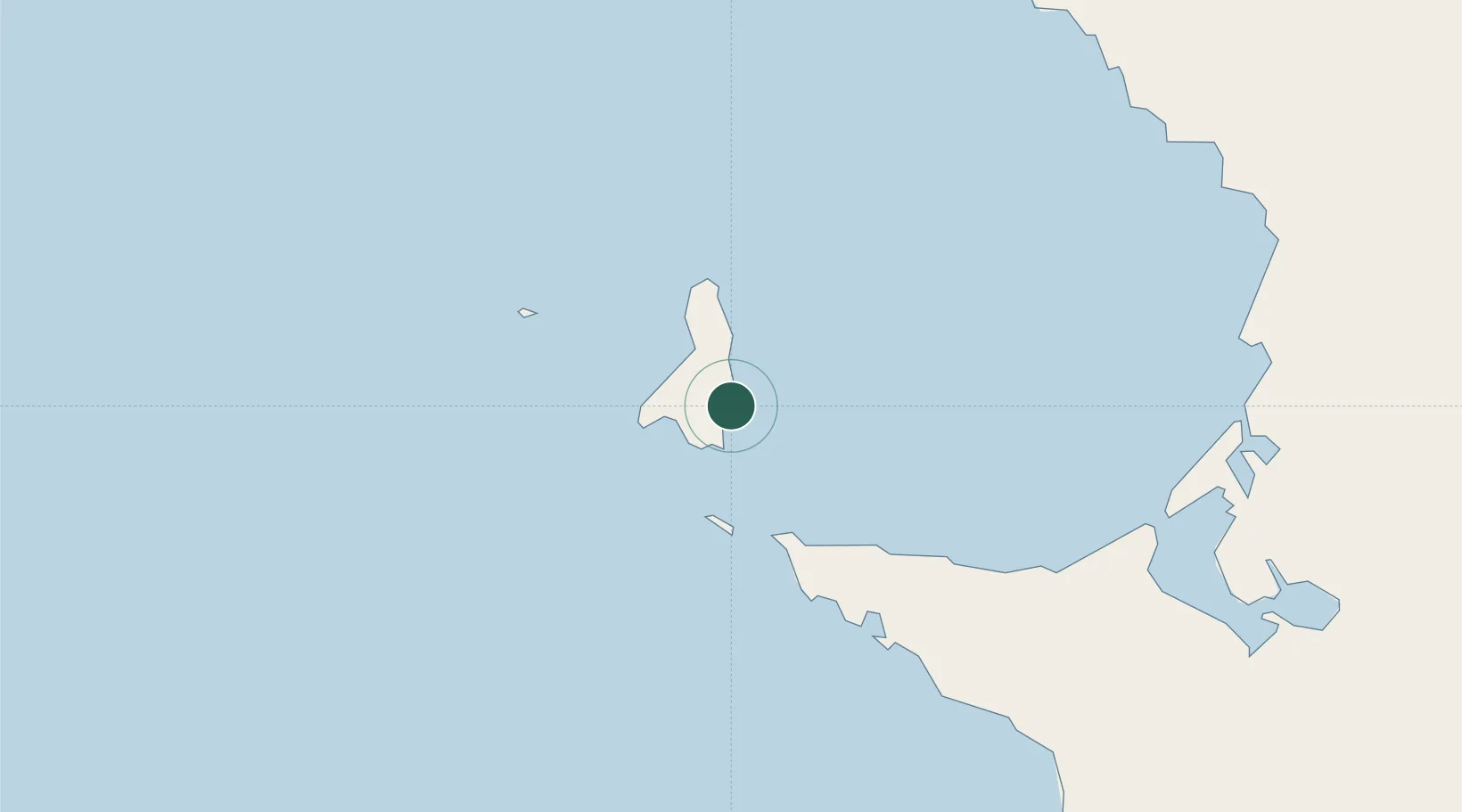
Place type
Populated place
Region
Baja California
Time zone
America/Tijuana
Elevation
21 m
Location
Nearby Logistics Neighbours
Cities
- 1Cedros Island7 km
- 2Punta Baja215 km
- 3Puerto Libertad314 km
- 4Isla San Marcos318 km
- 5Loreto344 km
Ports
- 1Puerto Morro Redondo8 km
- 2Santa Rosalia297 km
- 3Isla San Marcos319 km
- 4Guaymas418 km
- 5Ensenada440 km
Airports
Trade Zones
- 1FTZ No. 219 Yuma513 km
- 2FTZ No. 257 Imperial County519 km
- 3FTZ No. 153 San Diego532 km
- 4FTZ No. 060 Nogales544 km
- 5FTZ No. 139 Sierra Vista606 km
DatabookThe Record of Consolidated Knowledge
Mexico beyond logistics?