Medium airport · Mexico
General José María Yáñez International AirportMMGM
27.9690°, -110.9250°
7,710 ft
Longest runway
1
Runways
59 ft
Elevation
Runway & Layout

Radio Frequencies
TWR
118.6 MHz
GUAYMAS TWR
APP
121.3 MHz
HERMOSILLO APP
Navaids
GYM NDB Guaymas 368 kHz
Runways · 1
| Runway | Dimensions | Surface | True heading | Lit |
|---|---|---|---|---|
| 02/20 | 7,710 × 148ft | Asphalt | 029° | ✓ |
Airport Specifications
IATA code
GYM
ICAO code
MMGM
Airport class
Medium airport
Scheduled service
Yes
Runway surface
Asphalt
Served city
Guaymas
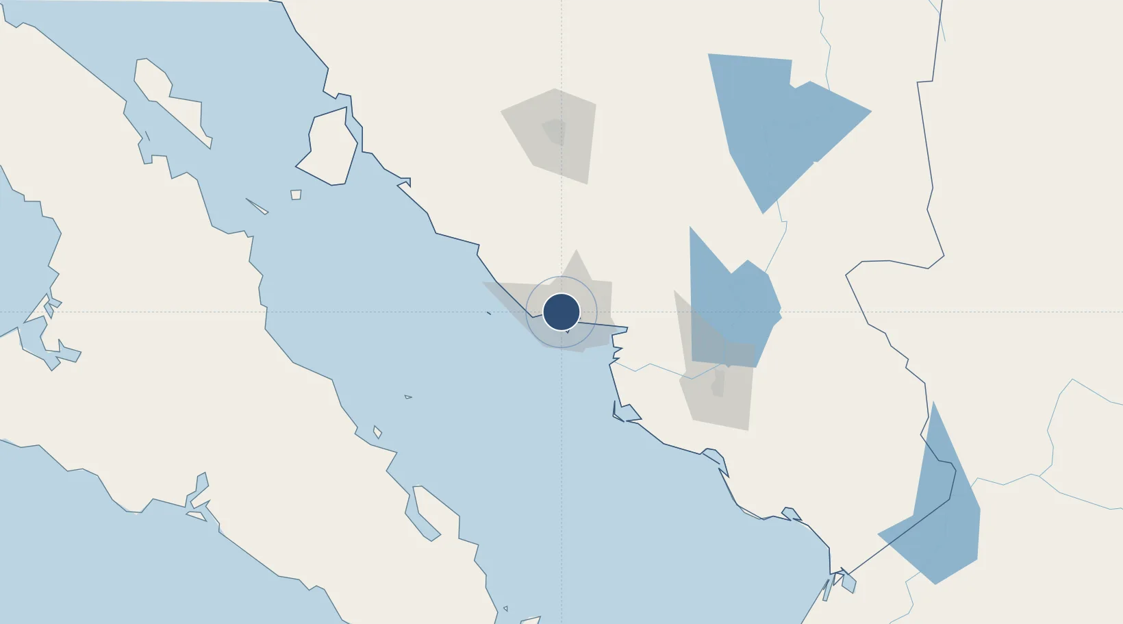
Location
Nearby Logistics Neighbours
Airports
Cities
- 1Guaymas8 km
- 2Empalme11 km
- 3Isla San Marcos143 km
- 4Santa Ana249 km
- 5Arizpe273 km
Ports
- 1Guaymas6 km
- 2Isla San Marcos145 km
- 3Santa Rosalia151 km
- 4Topolobampo322 km
- 5San Juan De La Costa398 km
Trade Zones
- 1FTZ No. 060 Nogales376 km
- 2FTZ No. 139 Sierra Vista403 km
- 3FTZ No. 174 Pima County480 km
- 4FTZ No. 197 Dona Ana County600 km
- 5FTZ No. 221 Mesa612 km
DatabookThe Record of Consolidated Knowledge
Mexico beyond logistics?