UN/LOCODE hub · Mexico
MXEPM

Empalme

27.9667°, -110.8167°
42,516
Population
4
Transport functions

Transport Functions

Port
Rail
Road
Airport
UN/LOCODE

Hub Profile

Place type
Provincial seat
GeoNames
Region
Sonora
GeoNames
Population
42,516
GeoNames
Time zone
America/Hermosillo
GeoNames
Elevation
7 m
GeoNames

Location

Location of MXEPM
Natural Earth 10m (public domain) · Sonora · MXEPM · 27.97, -110.82GoogleOSMYandex

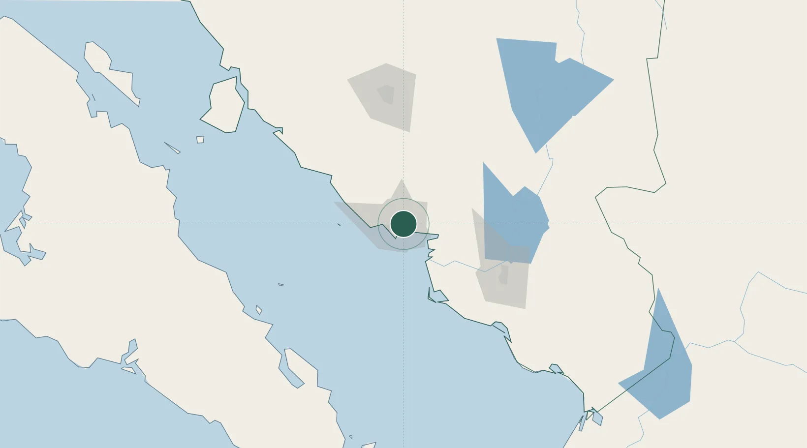
Nearby Logistics Neighbours

Cities
  1. 1Guaymas7 km
  2. 2Isla San Marcos152 km
  3. 3Santa Ana248 km
  4. 4Arizpe271 km
  5. 5Puerto Libertad280 km
Nearest neighbours — logibook spatial index (haversine) over the source coordinates
Ports
  1. 1Guaymas11 km
  2. 2Isla San Marcos154 km
  3. 3Santa Rosalia161 km
  4. 4Topolobampo315 km
  5. 5San Juan De La Costa397 km
Nearest neighbours — logibook spatial index (haversine) over the source coordinates
Airports
  1. 1General José María Yáñez International Airport11 km
  2. 2Ciudad Obregón International Airport116 km
  3. 3General Ignacio L. Pesqueira International Airport127 km
  4. 4Palo Verde Airport159 km
  5. 5Loreto International Airport226 km
Nearest neighbours — logibook spatial index (haversine) over the source coordinates
Trade Zones
  1. 1FTZ No. 060 Nogales376 km
  2. 2FTZ No. 139 Sierra Vista402 km
  3. 3FTZ No. 174 Pima County481 km
  4. 4FTZ No. 197 Dona Ana County595 km
  5. 5FTZ No. 068 El Paso606 km
Nearest neighbours — logibook spatial index (haversine) over the source coordinates
DatabookThe Record of Consolidated Knowledge
Mexico beyond logistics?
Browse databook

All Sources

LocationsUN/LOCODE
UN/LOCODE — free
LocationsGeoNames
CC BY 4.0
Portsthe NGA World Port Index
Public domain (US gov)
AirportsOurAirports
Public domain
Trade Zonesthe World Bank SEZ database
CC BY 4.0
Trade ZonesOpen Zone Map
CC BY
← Mexico locations