Transport Functions
Port
Airport
Hub Profile
Place type
Populated place
Region
Baja California Sur
Population
14,724
Time zone
America/Mazatlan
Elevation
8 m
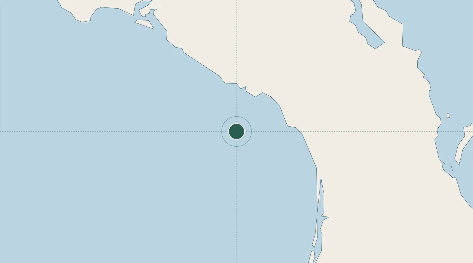
Location
Nearby Logistics Neighbours
Cities
- 1Isla San Marcos143 km
- 2Guaymas274 km
- 3Empalme281 km
- 4Pichilingue300 km
- 5La Paz314 km
Ports
- 1Isla San Marcos140 km
- 2Santa Rosalia150 km
- 3San Juan De La Costa264 km
- 4Guaymas270 km
- 5Pichilingue301 km
Airports
Trade Zones
- 1FTZ No. 060 Nogales615 km
- 2FTZ No. 139 Sierra Vista656 km
- 3FTZ No. 174 Pima County716 km
- 4FTZ No. 219 Yuma768 km
- 5FTZ No. 257 Imperial County803 km
DatabookThe Record of Consolidated Knowledge
Mexico beyond logistics?