Small airport · Mexico

Guerrero Negro AirportMMGR

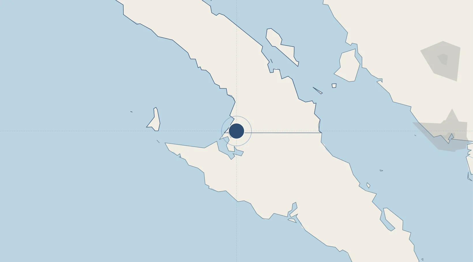
28.0261°, -114.0240°
7,216 ft
Longest runway
1
Runways
59 ft
Elevation

Runway & Layout

Guerrero Negro Airport runway & taxiway layout
Runway & taxiway layout — OpenStreetMap (ODbL) / OurAirports

Radio Frequencies

unicom
123.3 MHz
Guerrero Negro Traffic
OurAirports

Runways · 1

RunwayDimensions SurfaceTrue headingLit
12/30 7,216 × 131ft Asphalt 134°
OurAirports

Airport Specifications

IATA code
GUB
OurAirports
ICAO code
MMGR
OurAirports
Airport class
Small airport
OurAirports
Scheduled service
Yes
OurAirports
Runway surface
Asphalt
OurAirports
Served city
San Quintín
OurAirports

Location

Location of MMGR
Natural Earth 10m (public domain) · Baja California · MMGR · 28.03, -114.02GoogleOSMYandex

Nearby Logistics Neighbours

Airports
  1. 1Isla Cedros Airport114 km
  2. 2Palo Verde Airport216 km
  3. 3General José María Yáñez International Airport304 km
  4. 4General Ignacio L. Pesqueira International Airport314 km
  5. 5Loreto International Airport349 km
Nearest neighbours — logibook spatial index (haversine) over the source coordinates
Cities
  1. 1Cedros113 km
  2. 2Cedros Island118 km
  3. 3Isla San Marcos210 km
  4. 4Puerto Libertad247 km
  5. 5Loreto263 km
Nearest neighbours — logibook spatial index (haversine) over the source coordinates
Ports
  1. 1Puerto Morro Redondo114 km
  2. 2Santa Rosalia188 km
  3. 3Isla San Marcos212 km
  4. 4Guaymas305 km
  5. 5Ensenada496 km
Nearest neighbours — logibook spatial index (haversine) over the source coordinates
Trade Zones
  1. 1FTZ No. 060 Nogales475 km
  2. 2FTZ No. 219 Yuma523 km
  3. 3FTZ No. 139 Sierra Vista532 km
  4. 4FTZ No. 257 Imperial County547 km
  5. 5FTZ No. 174 Pima County559 km
Nearest neighbours — logibook spatial index (haversine) over the source coordinates
DatabookThe Record of Consolidated Knowledge
Mexico beyond logistics?
Browse databook

All Sources

AirportsOurAirports
Public domain
Portsthe NGA World Port Index
Public domain (US gov)
LocationsUN/LOCODE
UN/LOCODE — free
Trade Zonesthe World Bank SEZ database
CC BY 4.0
Trade ZonesOpen Zone Map
CC BY
InfrastructureOpenStreetMap
ODbL 1.0
← Mexico airports