Seaport · Mexico
Puerto Morro RedondoMXPMS
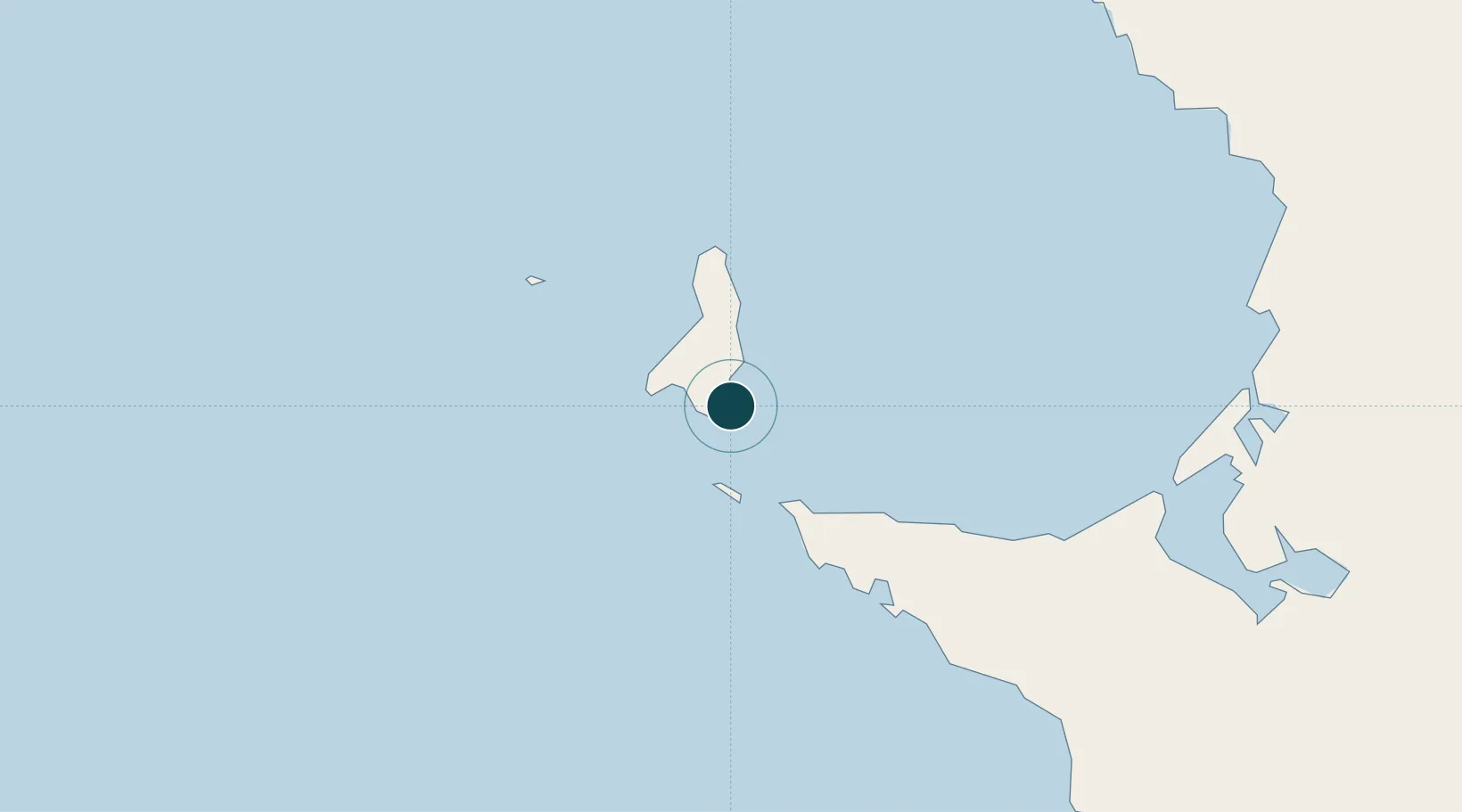
28.0500°, -115.1833°
1
Container terminals
8.4
Port liner connectivity
Channel & Berth Profile
Pilotage, Tugs & Services
Pilotage compulsoryYES
Pilotage availableYES
Tug assistanceYES
Potable waterNO
Diesel bunkersNO
MedicalYES
Facilities & Capabilities
ContainerYES
Ro-Ro—
Liquid bulk—
Dry bulkYES
Oil terminal—
Break bulkYES
Dry dock—
RepairsNO
BunkeringNO
Rail link—
Dangerous cargo—
ISPS securityYES
Harbour Specifications
Harbour size
Very Small
Harbour type
Open Roadstead
Shelter
Poor
Water body
North Pacific Ocean
Tidal range
1 m
Pilotage
Yes
Liner Connectivity
8.4
PLSCI
Port Liner Shipping Connectivity Index for Puerto Morro Redondo, as published by UNCTAD for the latest available quarter. Higher values indicate stronger scheduled liner-shipping integration.
Shown relative to the highest per-port PLSCI in the dataset (1,657.9).
Location
Container Terminals · 1
PUERTO MORELOS
PMOR ADMINISTRACION PORTUARIA INTEGRAL DE QUINTANA ROO S.A DE C.V
Nearby Logistics Neighbours
Ports
- 1Santa Rosalia296 km
- 2Isla San Marcos319 km
- 3Guaymas419 km
- 4Ensenada447 km
- 5Rosarito514 km
Cities
- 1Cedros8 km
- 2Cedros Island13 km
- 3Punta Baja222 km
- 4Isla San Marcos318 km
- 5Puerto Libertad320 km
Airports
Trade Zones
- 1FTZ No. 219 Yuma520 km
- 2FTZ No. 257 Imperial County526 km
- 3FTZ No. 153 San Diego538 km
- 4FTZ No. 060 Nogales551 km
- 5FTZ No. 139 Sierra Vista612 km
DatabookThe Record of Consolidated Knowledge
Mexico beyond logistics?