Runway & Layout

Airport Specifications
IATA code
SRL
Airport class
Small airport
Scheduled service
Yes
Served city
Mulegé
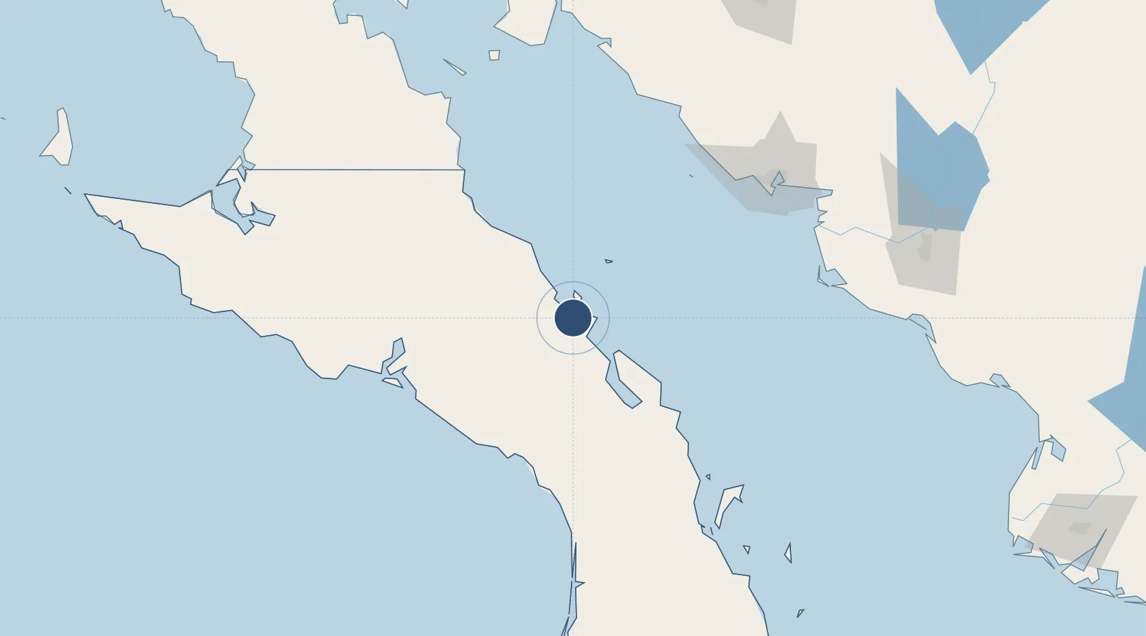
Location
Nearby Logistics Neighbours
Airports
Cities
- 1Isla San Marcos14 km
- 2Loreto130 km
- 3Guaymas152 km
- 4Empalme159 km
- 5Puerto Libertad317 km
Ports
- 1Isla San Marcos10 km
- 2Santa Rosalia32 km
- 3Guaymas148 km
- 4Puerto Morro Redondo322 km
- 5San Juan De La Costa331 km
Trade Zones
- 1FTZ No. 060 Nogales487 km
- 2FTZ No. 139 Sierra Vista526 km
- 3FTZ No. 174 Pima County588 km
- 4FTZ No. 219 Yuma669 km
- 5FTZ No. 221 Mesa704 km
DatabookThe Record of Consolidated Knowledge
Mexico beyond logistics?