Transport Functions
Port
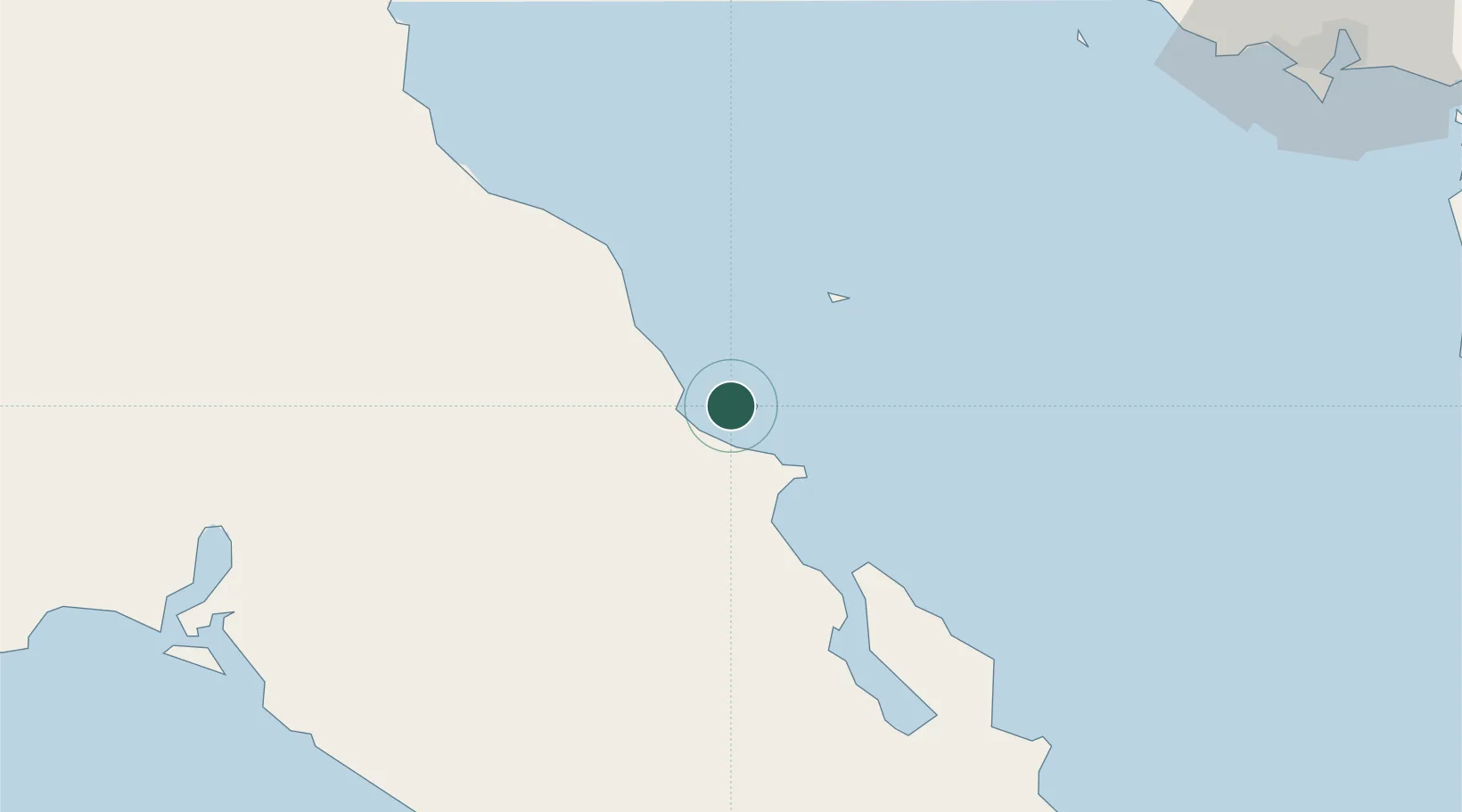
Hub Profile
Place type
Populated place
Region
Baja California Sur
Population
394
Time zone
America/Mazatlan
Elevation
16 m
Location
Nearby Logistics Neighbours
Cities
- 1Loreto143 km
- 2Guaymas145 km
- 3Empalme152 km
- 4Puerto Libertad304 km
- 5Cedros318 km
Ports
- 1Santa Rosalia22 km
- 2Guaymas140 km
- 3Puerto Morro Redondo318 km
- 4San Juan De La Costa343 km
- 5Topolobampo352 km
Airports
Trade Zones
- 1FTZ No. 060 Nogales473 km
- 2FTZ No. 139 Sierra Vista513 km
- 3FTZ No. 174 Pima County575 km
- 4FTZ No. 219 Yuma656 km
- 5FTZ No. 221 Mesa690 km
DatabookThe Record of Consolidated Knowledge
Mexico beyond logistics?