Large airport · Mexico

Loreto International AirportMMLT

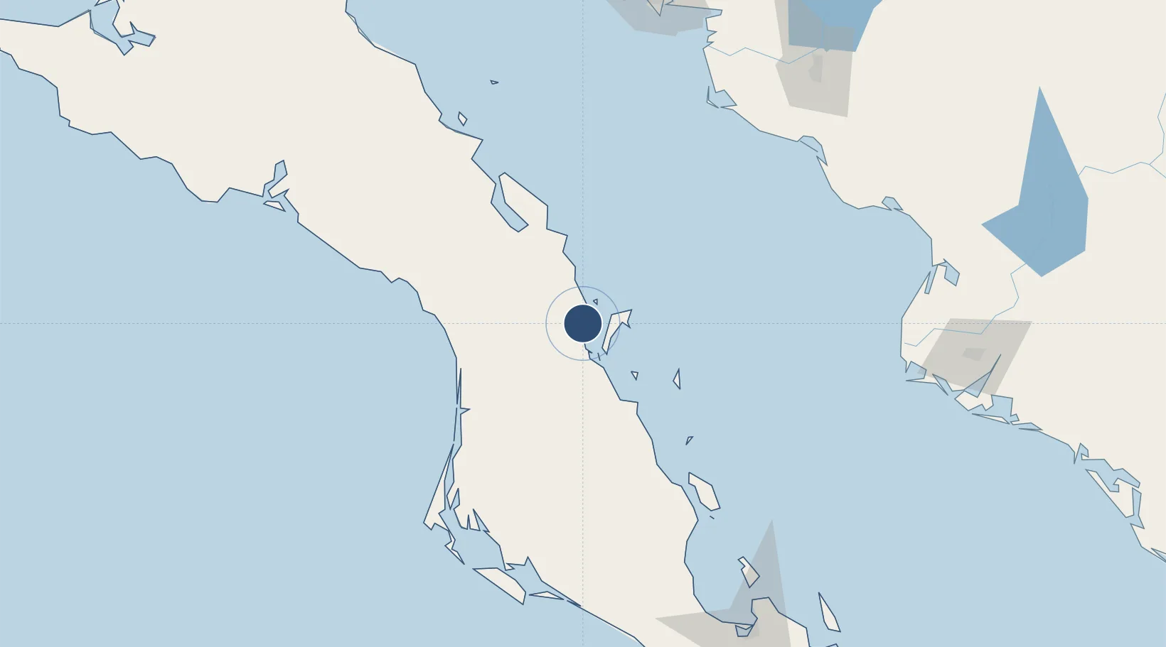
25.9895°, -111.3484°
7,218 ft
Longest runway
1
Runways
34 ft
Elevation

Runway & Layout

Loreto International Airport runway & taxiway layout
Runway & taxiway layout — OpenStreetMap (ODbL) / OurAirports

Radio Frequencies

TWR
118.4 MHz
OurAirports

Navaids

LTO VOR-DME Loreto 113.20 MHz
OurAirports

Runways · 1

RunwayDimensions SurfaceTrue headingLit
16/34 7,218 × 148ft Asphalt 173°
OurAirports

Airport Specifications

IATA code
LTO
OurAirports
ICAO code
MMLT
OurAirports
Airport class
Large airport
OurAirports
Scheduled service
Yes
OurAirports
Runway surface
Asphalt
OurAirports
Served city
Loreto
OurAirports

Location

Location of MMLT
Natural Earth 10m (public domain) · Baja California Sur · MMLT · 25.99, -111.35GoogleOSMYandex

Nearby Logistics Neighbours

Airports
  1. 1Ciudad Constitución National Airport107 km
  2. 2Palo Verde Airport144 km
  3. 3Ciudad Obregón International Airport217 km
  4. 4General José María Yáñez International Airport224 km
  5. 5Valle del Fuerte International Airport229 km
Nearest neighbours — logibook spatial index (haversine) over the source coordinates
Cities
  1. 1Loreto127 km
  2. 2Isla San Marcos156 km
  3. 3Pichilingue215 km
  4. 4Guaymas220 km
  5. 5Empalme226 km
Nearest neighbours — logibook spatial index (haversine) over the source coordinates
Ports
  1. 1Isla San Marcos152 km
  2. 2Santa Rosalia176 km
  3. 3San Juan De La Costa188 km
  4. 4Pichilingue217 km
  5. 5Guaymas219 km
Nearest neighbours — logibook spatial index (haversine) over the source coordinates
Trade Zones
  1. 1FTZ No. 060 Nogales597 km
  2. 2FTZ No. 139 Sierra Vista627 km
  3. 3FTZ No. 174 Pima County701 km
  4. 4FTZ No. 068 El Paso809 km
  5. 5FTZ No. 150 El Paso809 km
Nearest neighbours — logibook spatial index (haversine) over the source coordinates
DatabookThe Record of Consolidated Knowledge
Mexico beyond logistics?
Browse databook

All Sources

AirportsOurAirports
Public domain
Portsthe NGA World Port Index
Public domain (US gov)
LocationsUN/LOCODE
UN/LOCODE — free
Trade Zonesthe World Bank SEZ database
CC BY 4.0
Trade ZonesOpen Zone Map
CC BY
InfrastructureOpenStreetMap
ODbL 1.0
← Mexico airports