Transport Functions
Port
Airport
Hub Profile
Place type
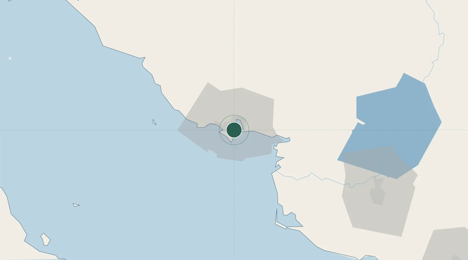
Populated place
Region
Sonora
Time zone
America/Hermosillo
Elevation
32 m
Logistics facilities
1
Container terminals
1
Location
Nearby Logistics Neighbours
Cities
- 1Empalme7 km
- 2Isla San Marcos145 km
- 3Santa Ana254 km
- 4Loreto274 km
- 5Arizpe277 km
Ports
- 1Isla San Marcos147 km
- 2Santa Rosalia154 km
- 3Topolobampo314 km
- 4San Juan De La Costa392 km
- 5Pichilingue410 km
Airports
Trade Zones
- 1FTZ No. 060 Nogales381 km
- 2FTZ No. 139 Sierra Vista408 km
- 3FTZ No. 174 Pima County486 km
- 4FTZ No. 197 Dona Ana County602 km
- 5FTZ No. 068 El Paso613 km
DatabookThe Record of Consolidated Knowledge
Mexico beyond logistics?