Transport Functions
Port
Road
Hub Profile
Region
SON
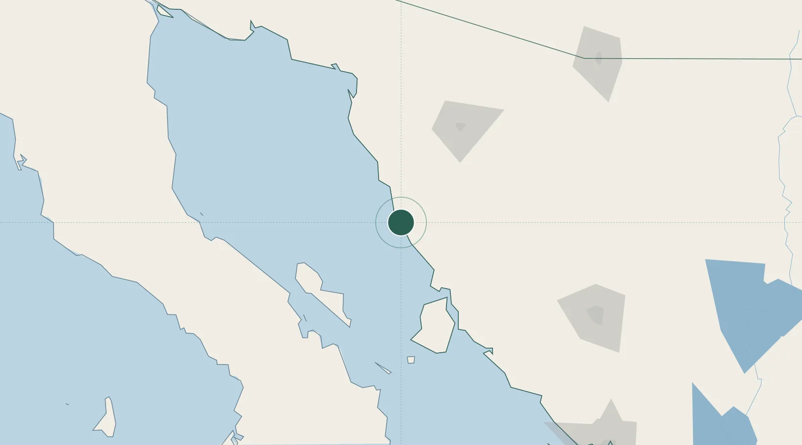
Location
Nearby Logistics Neighbours
Cities
- 1Magdalena de Kino184 km
- 2Imuris200 km
- 3Santa Ana209 km
- 4Arizpe245 km
- 5Tubac246 km
Ports
- 1Guaymas279 km
- 2Santa Rosalia288 km
- 3Isla San Marcos307 km
- 4Puerto Morro Redondo320 km
- 5Ensenada437 km
Airports
Trade Zones
- 1FTZ No. 060 Nogales231 km
- 2FTZ No. 139 Sierra Vista292 km
- 3FTZ No. 174 Pima County312 km
- 4FTZ No. 219 Yuma362 km
- 5FTZ No. 075 Phoenix399 km
DatabookThe Record of Consolidated Knowledge
Mexico beyond logistics?