Channel & Berth Profile
Pilotage, Tugs & Services
Pilotage compulsoryYES
Pilotage availableYES
Tug assistanceYES
Salvage tugsNO
Shore powerNO
Potable waterYES
MedicalYES
Garbage disposalYES
Facilities & Capabilities
Container—
Ro-Ro—
Liquid bulk—
Dry bulk—
Oil terminal—
Break bulk—
Dry dock—
Repairs—
BunkeringYES
Rail link—
Dangerous cargo—
ISPS security—
Harbour Specifications
Harbour size
Small
Harbour type
River (Basins)
Shelter
Good
Water body
North Pacific Ocean
Tidal range
1 m
Overhead limit
No
Pilotage
Yes
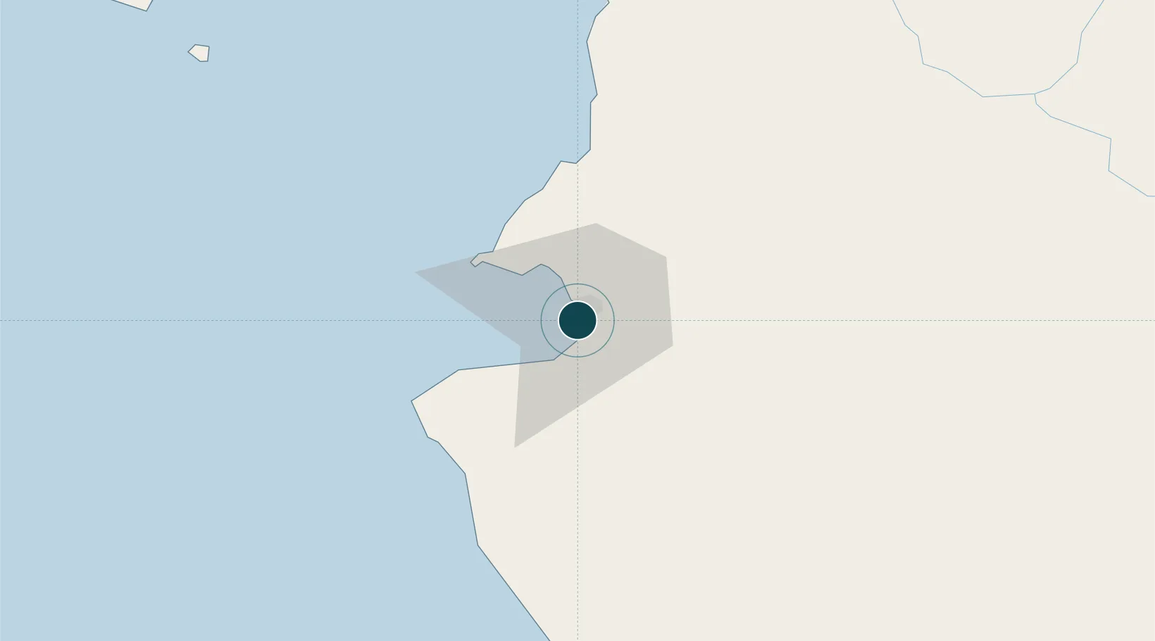
Location
Nearby Logistics Neighbours
Ports
- 1Manzanillo201 km
- 2Mazatlan311 km
- 3Lazaro Cardenas441 km
- 4La Paz652 km
- 5Pichilingue660 km
Cities
- 1Bahía de Banderas11 km
- 2Punta de Mita31 km
- 3Cuautla102 km
- 4Magdalena/Hostotipaquillo141 km
- 5Tequila152 km
Airports
Trade Zones
- 1The Special Economic Zone of Lázaro Cárdenas - La Unión441 km
- 2FTZ No. 095 Starr County918 km
- 3FTZ No. 012 McAllen942 km
- 4FTZ No. 156 Weslaco962 km
- 5FTZ No. 157 Casper962 km
DatabookThe Record of Consolidated Knowledge
Mexico beyond logistics?