Transport Functions
Rail
Road
Hub Profile
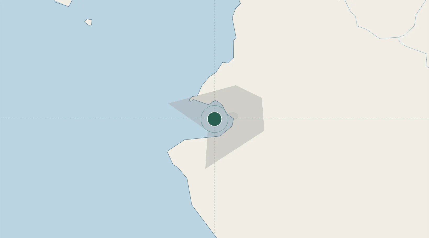
Region
NAY
Location
Nearby Logistics Neighbours
Cities
- 1Puerto Vallarta16 km
- 2Punta de Mita22 km
- 3Cuautla112 km
- 4Magdalena/Hostotipaquillo151 km
- 5Tequila162 km
Ports
- 1Puerto Vallarta11 km
- 2Manzanillo208 km
- 3Mazatlan305 km
- 4Lazaro Cardenas451 km
- 5La Paz643 km
Airports
Trade Zones
- 1The Special Economic Zone of Lázaro Cárdenas - La Unión450 km
- 2FTZ No. 095 Starr County924 km
- 3FTZ No. 012 McAllen949 km
- 4FTZ No. 156 Weslaco969 km
- 5FTZ No. 157 Casper969 km
DatabookThe Record of Consolidated Knowledge
Mexico beyond logistics?