UN/LOCODE hub · Mexico
MXMHT

Magdalena/Hostotipaquillo

20.9167°, -103.9500°
2
Transport functions

Transport Functions

Port
Multimodal
UN/LOCODE

Hub Profile

Region
JAL
GeoNames

Location

Location of MXMHT
Natural Earth 10m (public domain) · JAL · MXMHT · 20.92, -103.95GoogleOSMYandex

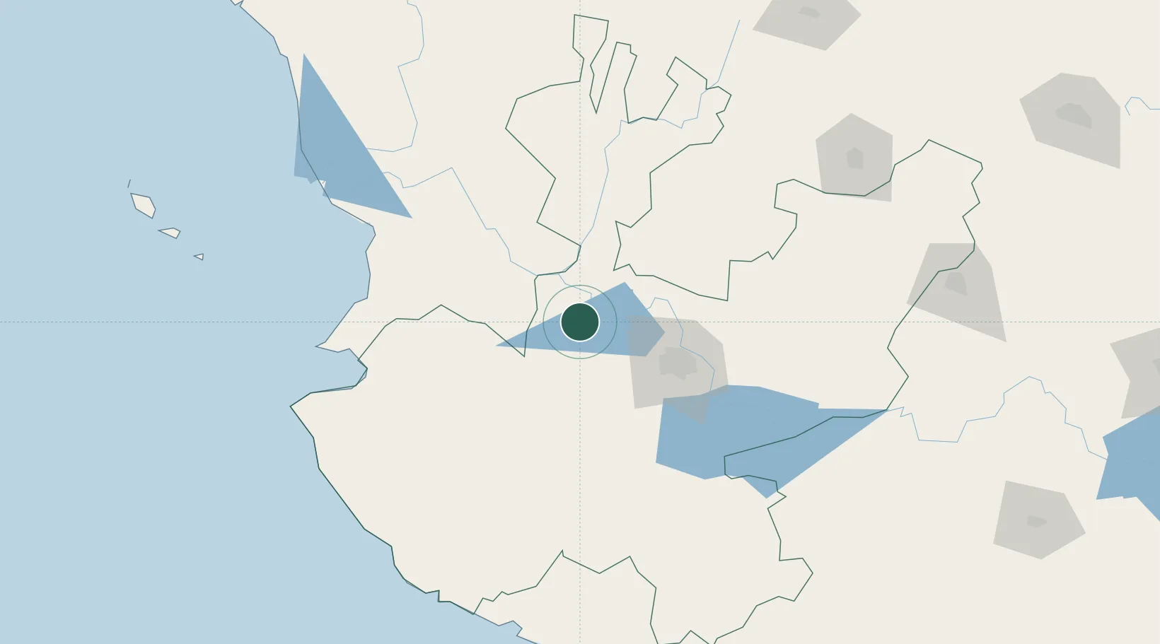
Nearby Logistics Neighbours

Cities
  1. 1Tequila13 km
  2. 2Amatitán26 km
  3. 3Zapotlanejo43 km
  4. 4Acatlán de Juárez67 km
  5. 5Tlajomulco de Zúñiga70 km
Nearest neighbours — logibook spatial index (haversine) over the source coordinates
Ports
  1. 1Puerto Vallarta141 km
  2. 2Manzanillo211 km
  3. 3Mazatlan359 km
  4. 4Lazaro Cardenas381 km
  5. 5Acapulco619 km
Nearest neighbours — logibook spatial index (haversine) over the source coordinates
Airports
  1. 1Unitec Guadalajara Helipad58 km
  2. 2Guadalajara International Airport80 km
  3. 3Amado Nervo National Airport108 km
  4. 4Agricola La Tuxcana Airport132 km
  5. 5Puerto Vallarta International Airport138 km
Nearest neighbours — logibook spatial index (haversine) over the source coordinates
Trade Zones
  1. 1The Special Economic Zone of Lázaro Cárdenas - La Unión381 km
  2. 2FTZ No. 095 Starr County801 km
  3. 3FTZ No. 012 McAllen821 km
  4. 4FTZ No. 156 Weslaco839 km
  5. 5FTZ No. 157 Casper839 km
Nearest neighbours — logibook spatial index (haversine) over the source coordinates
DatabookThe Record of Consolidated Knowledge
Mexico beyond logistics?
Browse databook

All Sources

LocationsUN/LOCODE
UN/LOCODE — free
Portsthe NGA World Port Index
Public domain (US gov)
AirportsOurAirports
Public domain
Trade Zonesthe World Bank SEZ database
CC BY 4.0
Trade ZonesOpen Zone Map
CC BY
← Mexico locations