Medium airport · Mexico

Amado Nervo National AirportMMEP

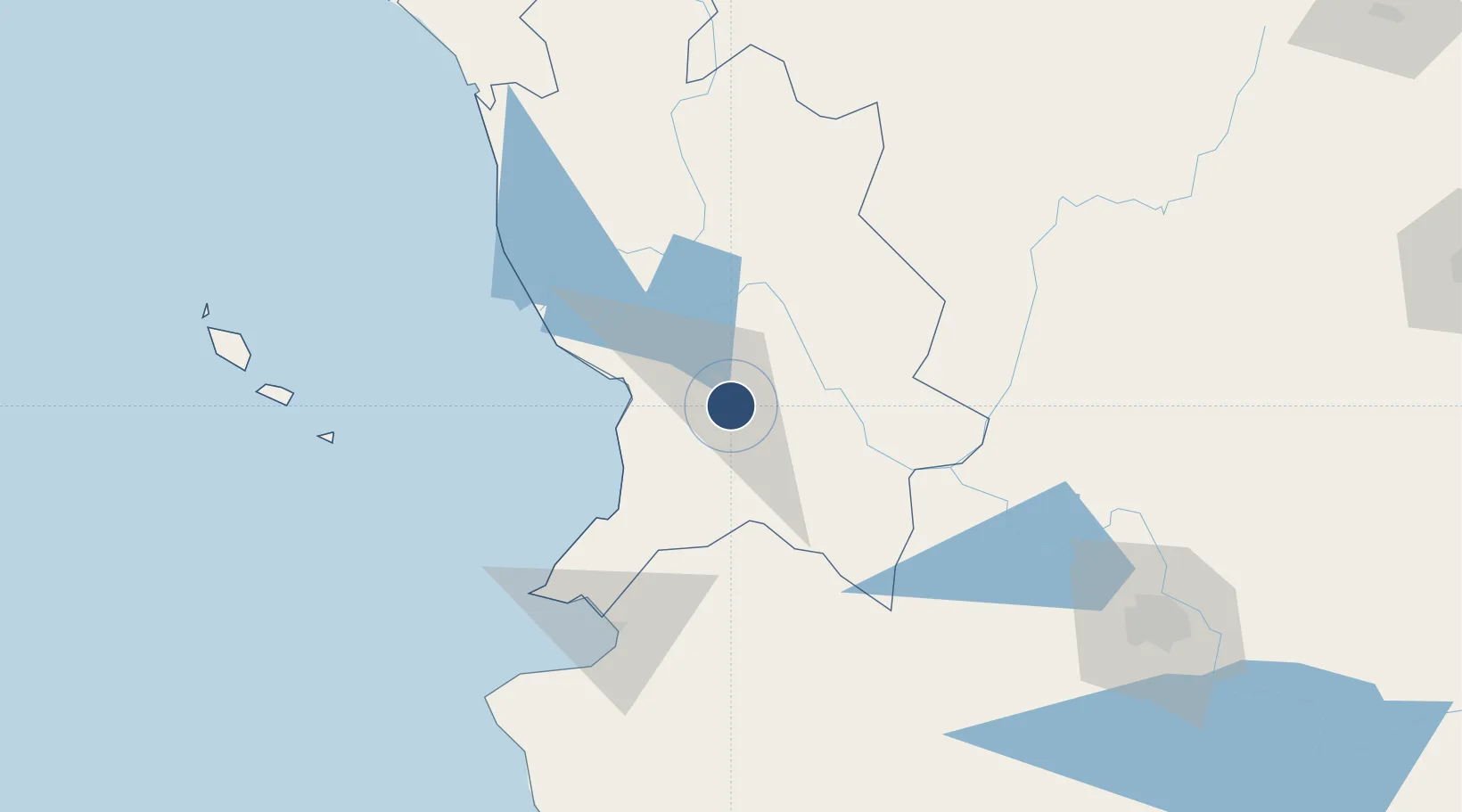
21.4198°, -104.8425°
10,171 ft
Longest runway
1
Runways
3,020 ft
Elevation

Runway & Layout

Amado Nervo National Airport runway & taxiway layout
Runway & taxiway layout — OpenStreetMap (ODbL) / OurAirports

Radio Frequencies

TWR
118.8 MHz
OurAirports

Navaids

TNY VOR-DME Tepic 113.90 MHz
OurAirports

Runways · 1

RunwayDimensions SurfaceTrue headingLit
02/20 10,171 × 148ft Asphalt 026°
OurAirports

Airport Specifications

IATA code
TPQ
OurAirports
ICAO code
MMEP
OurAirports
Airport class
Medium airport
OurAirports
Scheduled service
Yes
OurAirports
Runway surface
Asphalt
OurAirports
Served city
Tepic
OurAirports

Location

Location of MMEP
Natural Earth 10m (public domain) · Nayarit · MMEP · 21.42, -104.84GoogleOSMYandex

Nearby Logistics Neighbours

Airports
  1. 1Puerto Vallarta International Airport93 km
  2. 2Unitec Guadalajara Helipad166 km
  3. 3Guadalajara International Airport188 km
  4. 4Agricola La Tuxcana Airport208 km
  5. 5General Rafael Buelna International Airport243 km
Nearest neighbours — logibook spatial index (haversine) over the source coordinates
Cities
  1. 1Puerto Vallarta99 km
  2. 2Punta de Mita101 km
  3. 3Bahía de Banderas103 km
  4. 4Magdalena/Hostotipaquillo108 km
  5. 5Santa Teresa117 km
Nearest neighbours — logibook spatial index (haversine) over the source coordinates
Ports
  1. 1Puerto Vallarta100 km
  2. 2Mazatlan256 km
  3. 3Manzanillo269 km
  4. 4Lazaro Cardenas478 km
  5. 5Topolobampo634 km
Nearest neighbours — logibook spatial index (haversine) over the source coordinates
Trade Zones
  1. 1The Special Economic Zone of Lázaro Cárdenas - La Unión479 km
  2. 2FTZ No. 095 Starr County824 km
  3. 3FTZ No. 012 McAllen851 km
  4. 4FTZ No. 156 Weslaco871 km
  5. 5FTZ No. 157 Casper871 km
Nearest neighbours — logibook spatial index (haversine) over the source coordinates
DatabookThe Record of Consolidated Knowledge
Mexico beyond logistics?
Browse databook

All Sources

AirportsOurAirports
Public domain
Portsthe NGA World Port Index
Public domain (US gov)
LocationsUN/LOCODE
UN/LOCODE — free
Trade Zonesthe World Bank SEZ database
CC BY 4.0
Trade ZonesOpen Zone Map
CC BY
InfrastructureOpenStreetMap
ODbL 1.0
← Mexico airports