Medium airport · Mexico

Playa de Oro International AirportMMZO

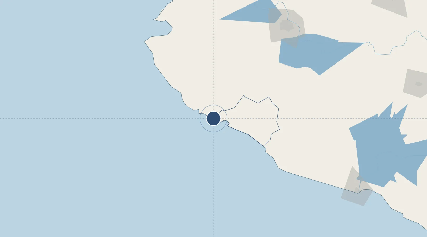
19.1448°, -104.5590°
7,218 ft
Longest runway
1
Runways
30 ft
Elevation

Runway & Layout

Playa de Oro International Airport runway & taxiway layout
Runway & taxiway layout — OpenStreetMap (ODbL) / OurAirports

Radio Frequencies

APP
118.7 MHz
MANZANILLO APP/TWR
OurAirports

Navaids

ZLO VOR-DME Manzanillo 116.80 MHz
OurAirports

Runways · 1

RunwayDimensions SurfaceTrue headingLit
10/28 7,218 × 148ft Asphalt 106°
OurAirports

Airport Specifications

IATA code
ZLO
OurAirports
ICAO code
MMZO
OurAirports
Airport class
Medium airport
OurAirports
Scheduled service
Yes
OurAirports
Runway surface
Asphalt
OurAirports
Served city
Manzanillo
OurAirports

Location

Location of MMZO
Natural Earth 10m (public domain) · Colima · MMZO · 19.14, -104.56GoogleOSMYandex

Nearby Logistics Neighbours

Airports
  1. 1Agricola La Tuxcana Airport89 km
  2. 2Licenciado Miguel de la Madrid International Airport104 km
  3. 3Puerto Vallarta International Airport186 km
  4. 4Guadalajara International Airport201 km
  5. 5Unitec Guadalajara Helipad206 km
Nearest neighbours — logibook spatial index (haversine) over the source coordinates
Cities
  1. 1Manzanillo31 km
  2. 2Tecomán75 km
  3. 3Cuautla119 km
  4. 4Ciudad Guzmán132 km
  5. 5Jilotlan de los Dolores141 km
Nearest neighbours — logibook spatial index (haversine) over the source coordinates
Ports
  1. 1Manzanillo28 km
  2. 2Puerto Vallarta180 km
  3. 3Lazaro Cardenas286 km
  4. 4Mazatlan490 km
  5. 5Acapulco552 km
Nearest neighbours — logibook spatial index (haversine) over the source coordinates
Trade Zones
  1. 1The Special Economic Zone of Lázaro Cárdenas - La Unión286 km
  2. 2FTZ No. 095 Starr County996 km
  3. 3FTZ No. 012 McAllen1011 km
  4. 4FTZ No. 156 Weslaco1028 km
  5. 5FTZ No. 157 Casper1028 km
Nearest neighbours — logibook spatial index (haversine) over the source coordinates
DatabookThe Record of Consolidated Knowledge
Mexico beyond logistics?
Browse databook

All Sources

AirportsOurAirports
Public domain
Portsthe NGA World Port Index
Public domain (US gov)
LocationsUN/LOCODE
UN/LOCODE — free
Trade Zonesthe World Bank SEZ database
CC BY 4.0
Trade ZonesOpen Zone Map
CC BY
InfrastructureOpenStreetMap
ODbL 1.0
← Mexico airports