Seaport · Mexico
Lazaro CardenasMXLZC
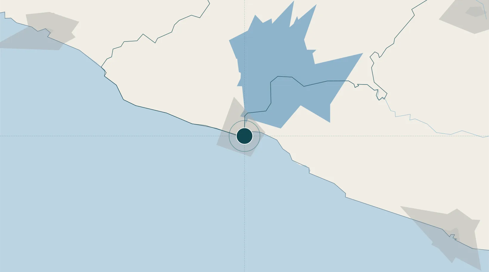
17.9333°, -102.1667°
9.4 m
Channel depth
3
Container terminals
264.8
Port liner connectivity
Channel & Berth Profile
Pilotage, Tugs & Services
Pilotage compulsoryYES
Pilotage availableYES
Tug assistanceYES
Salvage tugsNO
Potable waterYES
Diesel bunkersYES
MedicalYES
Garbage disposalYES
Facilities & Capabilities
Container—
Ro-Ro—
Liquid bulk—
Dry bulk—
Oil terminal—
Break bulk—
Dry dock—
RepairsNO
BunkeringYES
Rail linkYES
Dangerous cargo—
ISPS security—
Harbour Specifications
Harbour size
Small
Harbour type
River (Basins)
Shelter
Good
Water body
North Pacific Ocean
Overhead limit
Yes
Pilotage
Yes
Liner Connectivity
264.8
PLSCI
Port Liner Shipping Connectivity Index for Lazaro Cardenas, as published by UNCTAD for the latest available quarter. Higher values indicate stronger scheduled liner-shipping integration.
Shown relative to the highest per-port PLSCI in the dataset (1,657.9).
Location
Container Terminals · 3
APM TERMINALS LAZARO CARDENAS
APMT APM TERMINALS LAZARO CARDENAS S.A. DE C.V.
HUTCHISON L.C. MULTIPURPOSE TERMINAL (LCMT)
LCMT HUTCHISON PORTS LAZARO CARDENAS MULTIPURPOSE TERMINAL (LCMT)
HUTCHISON LAZARO CARDENAS TERMINAL (LCT)
LCT LAZARO CARDENAS TERMINAL PORTUARIA DE CONTENEDORES, S.A. DE C.V. (HUTCHISON)
Nearby Logistics Neighbours
Ports
- 1Manzanillo259 km
- 2Acapulco266 km
- 3Puerto Vallarta441 km
- 4Tuxpan602 km
- 5Veracruz651 km
Cities
- 1Antunez59 km
- 2Ixtapa/Zihuatanejo62 km
- 3Zihuatanejo73 km
- 4Uruapan del Progreso165 km
- 5Jilotlan de los Dolores178 km
Airports
DatabookThe Record of Consolidated Knowledge
Mexico beyond logistics?