Transport Functions
Multimodal
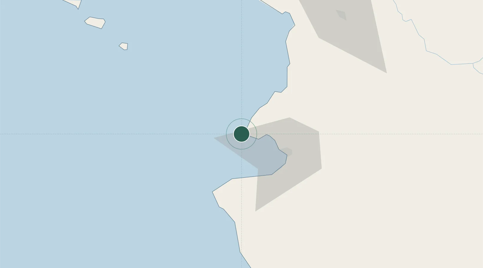
Hub Profile
Place type
Populated place
Region
Nayarit
Time zone
America/Bahia_Banderas
Elevation
11 m
Location
Nearby Logistics Neighbours
Cities
- 1Bahía de Banderas22 km
- 2Puerto Vallarta36 km
- 3Cuautla132 km
- 4Magdalena/Hostotipaquillo164 km
- 5Tequila175 km
Ports
- 1Puerto Vallarta31 km
- 2Manzanillo228 km
- 3Mazatlan286 km
- 4Lazaro Cardenas472 km
- 5La Paz621 km
Airports
Trade Zones
- 1The Special Economic Zone of Lázaro Cárdenas - La Unión472 km
- 2FTZ No. 095 Starr County925 km
- 3FTZ No. 012 McAllen951 km
- 4FTZ No. 156 Weslaco971 km
- 5FTZ No. 157 Casper971 km
DatabookThe Record of Consolidated Knowledge
Mexico beyond logistics?