Seaport · Mexico

ManzanilloMXZLO

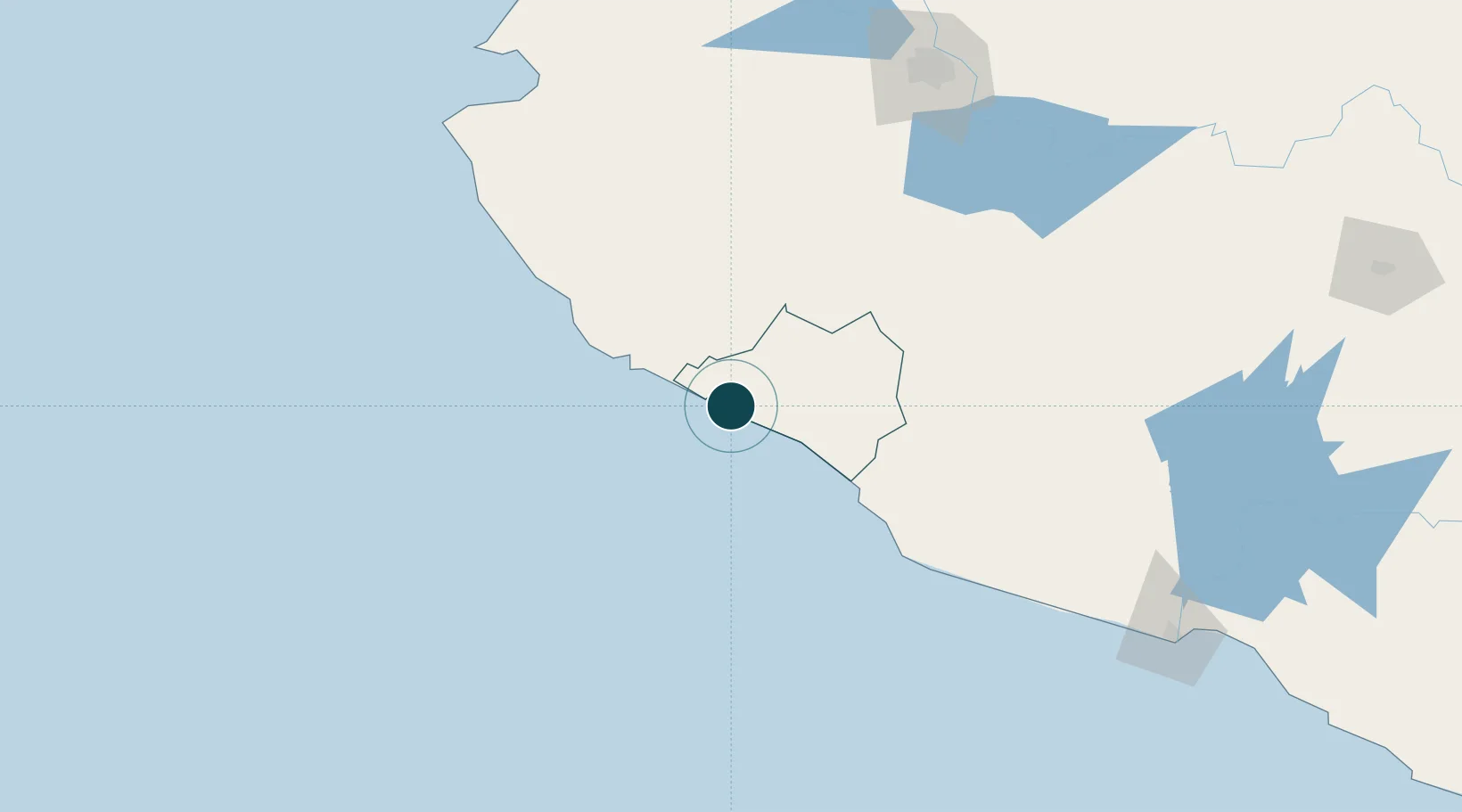
19.0500°, -104.3167°
15.5 m
Channel depth
3
Container terminals
287.9
Port liner connectivity
Manzanillo is also a UN/LOCODE logistics hub →

Channel & Berth Profile

SEA LEVEL (CD)CHANNEL BEDOil terminal · 12.5 mCargo pier · 14.0 mChannel · 15.5 mAnchorage · 15.5 m
NGA World Port Index

Pilotage, Tugs & Services

Pilotage compulsoryYES
Pilotage availableYES
Pilotage advisableYES
Tug assistanceYES
Shore powerYES
Potable waterYES
Diesel bunkersYES
MedicalYES
Garbage disposalYES
NGA World Port Index

Facilities & Capabilities

Container
Ro-Ro
Liquid bulk
Dry bulk
Oil terminal
Break bulk
Dry dockNO
RepairsNO
BunkeringYES
Rail linkYES
Dangerous cargo
ISPS security
NGA World Port Index

Harbour Specifications

Harbour size
Medium
NGA World Port Index
Harbour type
Coastal (Breakwater)
NGA World Port Index
Shelter
Good
NGA World Port Index
Water body
North Pacific Ocean
NGA World Port Index
Tidal range
1 m
NGA World Port Index
Overhead limit
No
NGA World Port Index
Pilotage
Yes
NGA World Port Index

Liner Connectivity

287.9
PLSCI

Port Liner Shipping Connectivity Index for Manzanillo, as published by UNCTAD for the latest available quarter. Higher values indicate stronger scheduled liner-shipping integration.

Shown relative to the highest per-port PLSCI in the dataset (1,657.9).

UNCTAD · Port Liner Shipping Connectivity Index

Location

Location of MXZLO
Natural Earth 10m (public domain) · Colima · MXZLO · 19.05, -104.32GoogleOSMYandex

Container Terminals · 3

CONTECON MANZANILLO
CMSA CONTECON MANZANILLO S.A. DE C.V.
SSA MEXICO HOLDINGS
SSAMX SSA MEXICO HOLDINGS S.A. DE C.V.
TERMINAL INTL DE MANZANILLO (TIMSA)
TIMSA TERMINAL INTL DE MANZANILLO S.A. DE C.V. TIMSA
SMDG Terminal Code List

Nearby Logistics Neighbours

Ports
  1. 1Puerto Vallarta201 km
  2. 2Lazaro Cardenas259 km
  3. 3Mazatlan510 km
  4. 4Acapulco524 km
  5. 5Tuxpan753 km
Nearest neighbours — logibook spatial index (haversine) over the source coordinates
Cities
  1. 1Tecomán48 km
  2. 2Ciudad Guzmán116 km
  3. 3Jilotlan de los Dolores117 km
  4. 4Cuautla128 km
  5. 5Villa Corona151 km
Nearest neighbours — logibook spatial index (haversine) over the source coordinates
Airports
  1. 1Playa de Oro International Airport28 km
  2. 2Licenciado Miguel de la Madrid International Airport82 km
  3. 3Agricola La Tuxcana Airport84 km
  4. 4Guadalajara International Airport195 km
  5. 5Unitec Guadalajara Helipad202 km
Nearest neighbours — logibook spatial index (haversine) over the source coordinates
Trade Zones
  1. 1The Special Economic Zone of Lázaro Cárdenas - La Unión258 km
  2. 2FTZ No. 095 Starr County991 km
  3. 3FTZ No. 012 McAllen1004 km
  4. 4Special Economic Zone of Salina Cruz1013 km
  5. 5FTZ No. 156 Weslaco1020 km
Nearest neighbours — logibook spatial index (haversine) over the source coordinates
DatabookThe Record of Consolidated Knowledge
Mexico beyond logistics?
Browse databook

All Sources

Portsthe NGA World Port Index
Public domain (US gov)
Logistics performanceUNCTAD
CC BY 3.0 IGO
Portsthe SMDG Terminal Code List
UN/LOCODE — free, attribution
AirportsOurAirports
Public domain
LocationsUN/LOCODE
UN/LOCODE — free
Trade Zonesthe World Bank SEZ database
CC BY 4.0
Trade ZonesOpen Zone Map
CC BY
← Mexico ports