Runway & Layout

Airport Specifications
Airport class
Heliport
Scheduled service
Yes
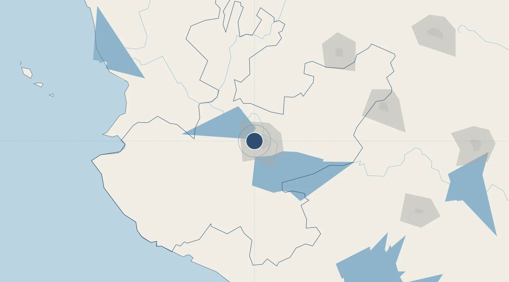
Served city
Guadalajara
Location
Nearby Logistics Neighbours
Airports
Cities
- 1Santa Cruz de las Flores22 km
- 2Tlajomulco de Zúñiga22 km
- 3Zapotlanejo23 km
- 4Acatlán de Juárez32 km
- 5Amatitán32 km
Ports
- 1Puerto Vallarta189 km
- 2Manzanillo202 km
- 3Lazaro Cardenas334 km
- 4Mazatlan415 km
- 5Acapulco565 km
Trade Zones
- 1The Special Economic Zone of Lázaro Cárdenas - La Unión334 km
- 2FTZ No. 095 Starr County791 km
- 3FTZ No. 012 McAllen806 km
- 4FTZ No. 156 Weslaco824 km
- 5FTZ No. 157 Casper824 km
DatabookThe Record of Consolidated Knowledge
Mexico beyond logistics?