Foreign Trade Zone · United States

FTZ No. 095 Starr County Active
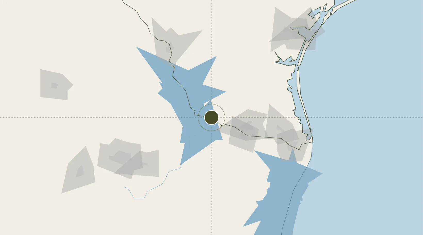
26.3778°, -98.8177°
149.3 km
Nearest port
62.0 km
Nearest airport

Gateway access

Nearest neighbours — logibook spatial index (haversine) over the source coordinates

Zone profile

Zone type
Foreign Trade Zone
Open Zone Map
Region
Texas
Open Zone Map
Status
Active
Open Zone Map
Management
Public-Private Partnership
Open Zone Map
Operator
Starr County Industrial Foundation
Open Zone Map
Legal framework
Foreign-Trade Zones Act
Open Zone Map

Location

Location of ozm-4926
Natural Earth 10m (public domain) · Texas · ozm-4926 · 26.38, -98.82GoogleOSMYandex

Nearby Logistics Neighbours

Ports
  1. 1Brownsville149 km
  2. 2Port Isabel165 km
  3. 3Corpus Christi213 km
  4. 4Port Ingleside228 km
  5. 5Port Aransas238 km
Nearest neighbours — logibook spatial index (haversine) over the source coordinates
Airports
  1. 1McAllen Miller International Airport62 km
  2. 2General Lucio Blanco International Airport72 km
  3. 3Valley International Airport117 km
  4. 4Quetzalcóatl International Airport140 km
  5. 5Laredo International Airport145 km
Nearest neighbours — logibook spatial index (haversine) over the source coordinates
Cities
  1. 1Mission54 km
  2. 2Hidalgo62 km
  3. 3Reynosa63 km
  4. 4San Juan70 km
  5. 5Hidalgo72 km
Nearest neighbours — logibook spatial index (haversine) over the source coordinates
Trade Zones
  1. 1FTZ No. 012 McAllen60 km
  2. 2FTZ No. 156 Weslaco83 km
  3. 3FTZ No. 157 Casper83 km
  4. 4FTZ No. 094 Laredo145 km
  5. 5FTZ No. 062 Brownsville148 km
Nearest neighbours — logibook spatial index (haversine) over the source coordinates
DatabookThe Record of Consolidated Knowledge
United States beyond logistics?
Browse databook

All Sources

Trade ZonesOpen Zone Map
CC BY
Portsthe NGA World Port Index
Public domain (US gov)
AirportsOurAirports
Public domain
LocationsUN/LOCODE
UN/LOCODE — free
← United States trade zones