UN/LOCODE hub · Mexico
MXPVR
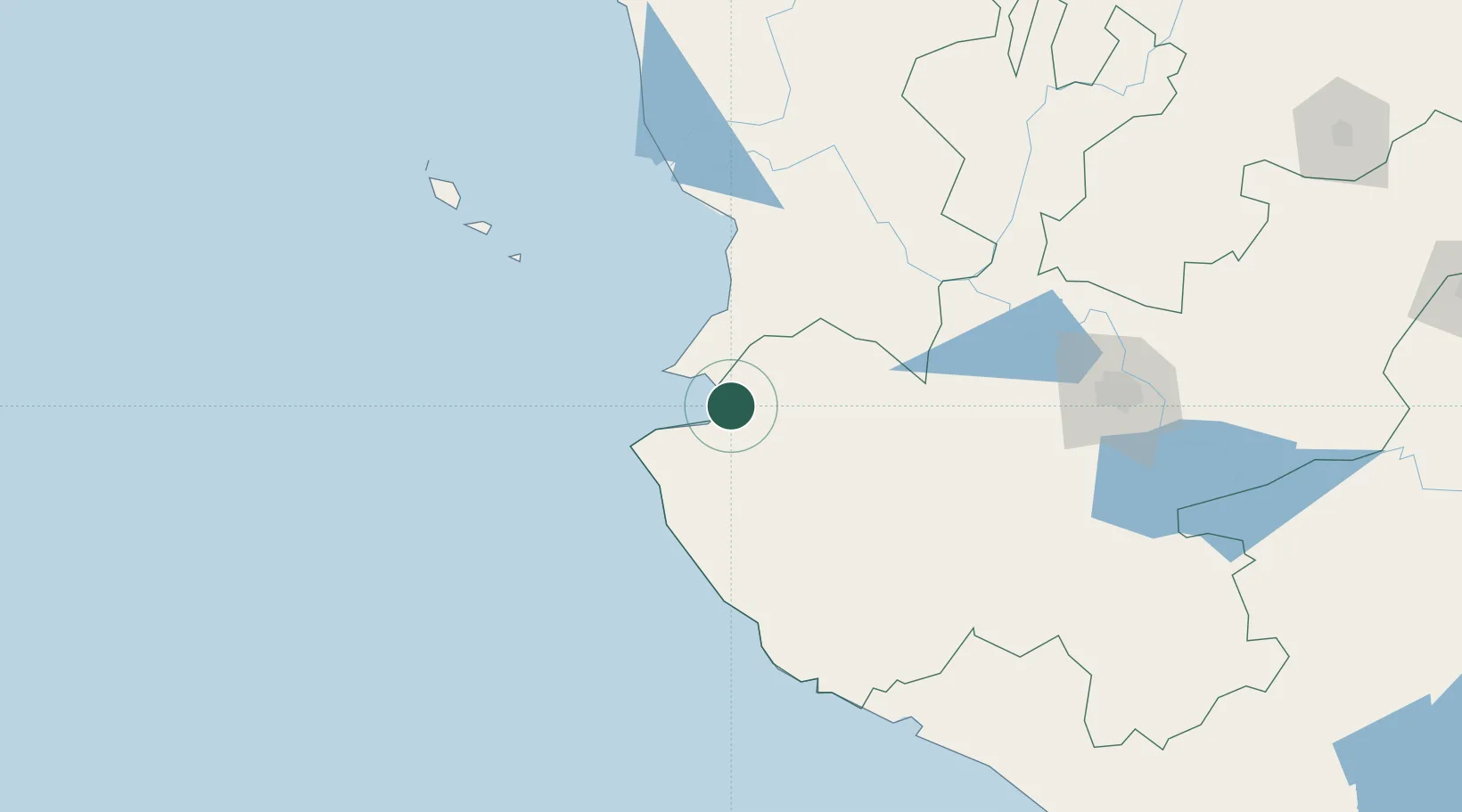
Puerto Vallarta
20.6000°, -105.2167°
224,166
Population
2
Transport functions
Transport Functions
Port
Airport
Hub Profile
Place type
Populated place
Region
Jalisco
Population
224,166
Time zone
America/Mexico_City
Elevation
21 m
Location
Nearby Logistics Neighbours
Cities
- 1Bahía de Banderas16 km
- 2Punta de Mita36 km
- 3Cuautla96 km
- 4Magdalena/Hostotipaquillo136 km
- 5Tequila147 km
Ports
- 1Manzanillo196 km
- 2Mazatlan315 km
- 3Lazaro Cardenas436 km
- 4La Paz657 km
- 5Pichilingue665 km
Airports
Trade Zones
- 1The Special Economic Zone of Lázaro Cárdenas - La Unión436 km
- 2FTZ No. 095 Starr County915 km
- 3FTZ No. 012 McAllen940 km
- 4FTZ No. 156 Weslaco959 km
- 5FTZ No. 157 Casper959 km
DatabookThe Record of Consolidated Knowledge
Mexico beyond logistics?