UN/LOCODE hub · Mexico
MXTEQ

Tequila

20.8667°, -103.8333°
29,203
Population
2
Transport functions

Transport Functions

Rail
Road
UN/LOCODE

Hub Profile

Place type
Provincial seat
GeoNames
Region
Jalisco
GeoNames
Population
29,203
GeoNames
Time zone
America/Mexico_City
GeoNames
Elevation
1,197 m
GeoNames

Location

Location of MXTEQ
Natural Earth 10m (public domain) · Jalisco · MXTEQ · 20.87, -103.83GoogleOSMYandex

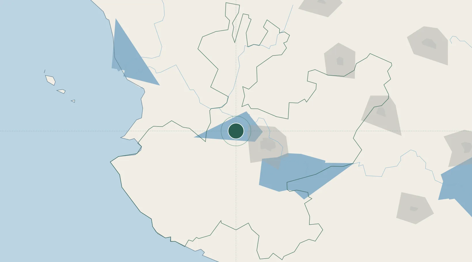
Nearby Logistics Neighbours

Cities
  1. 1Amatitán13 km
  2. 2Magdalena/Hostotipaquillo13 km
  3. 3Zapotlanejo31 km
  4. 4Acatlán de Juárez56 km
  5. 5Tlajomulco de Zúñiga57 km
Nearest neighbours — logibook spatial index (haversine) over the source coordinates
Ports
  1. 1Puerto Vallarta152 km
  2. 2Manzanillo208 km
  3. 3Lazaro Cardenas370 km
  4. 4Mazatlan372 km
  5. 5Acapulco607 km
Nearest neighbours — logibook spatial index (haversine) over the source coordinates
Airports
  1. 1Unitec Guadalajara Helipad45 km
  2. 2Guadalajara International Airport67 km
  3. 3Amado Nervo National Airport121 km
  4. 4Agricola La Tuxcana Airport127 km
  5. 5Puerto Vallarta International Airport149 km
Nearest neighbours — logibook spatial index (haversine) over the source coordinates
Trade Zones
  1. 1The Special Economic Zone of Lázaro Cárdenas - La Unión370 km
  2. 2FTZ No. 095 Starr County798 km
  3. 3FTZ No. 012 McAllen816 km
  4. 4FTZ No. 156 Weslaco835 km
  5. 5FTZ No. 157 Casper835 km
Nearest neighbours — logibook spatial index (haversine) over the source coordinates
DatabookThe Record of Consolidated Knowledge
Mexico beyond logistics?
Browse databook

All Sources

LocationsUN/LOCODE
UN/LOCODE — free
LocationsGeoNames
CC BY 4.0
Portsthe NGA World Port Index
Public domain (US gov)
AirportsOurAirports
Public domain
Trade Zonesthe World Bank SEZ database
CC BY 4.0
Trade ZonesOpen Zone Map
CC BY
← Mexico locations