Transport Functions
Port
Road
Multimodal
Hub Profile
Place type
Populated place
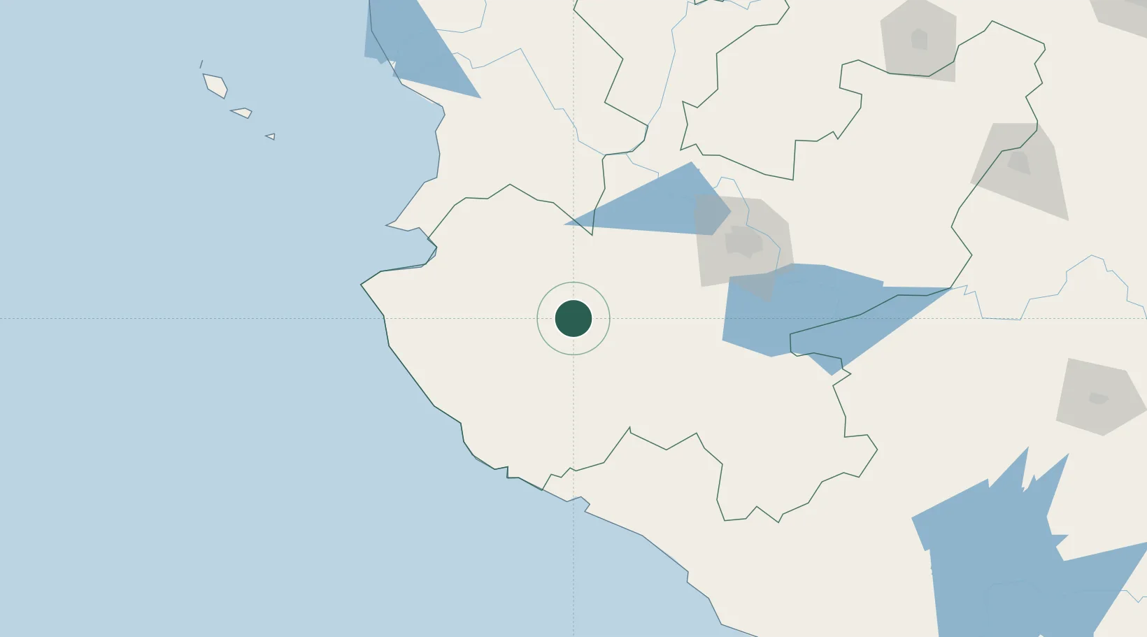
Region
Jalisco
Population
1,253
Time zone
America/Mexico_City
Elevation
1,719 m
Location
Nearby Logistics Neighbours
Cities
- 1Villa Corona82 km
- 2Acatlán de Juárez89 km
- 3Zapotlanejo90 km
- 4Magdalena/Hostotipaquillo92 km
- 5Tequila95 km
Ports
- 1Puerto Vallarta102 km
- 2Manzanillo128 km
- 3Lazaro Cardenas344 km
- 4Mazatlan393 km
- 5Acapulco600 km
Airports
Trade Zones
- 1The Special Economic Zone of Lázaro Cárdenas - La Unión344 km
- 2FTZ No. 095 Starr County892 km
- 3FTZ No. 012 McAllen911 km
- 4FTZ No. 156 Weslaco929 km
- 5FTZ No. 157 Casper929 km
DatabookThe Record of Consolidated Knowledge
Mexico beyond logistics?