Seaport · Mexico
MazatlanMXMZT
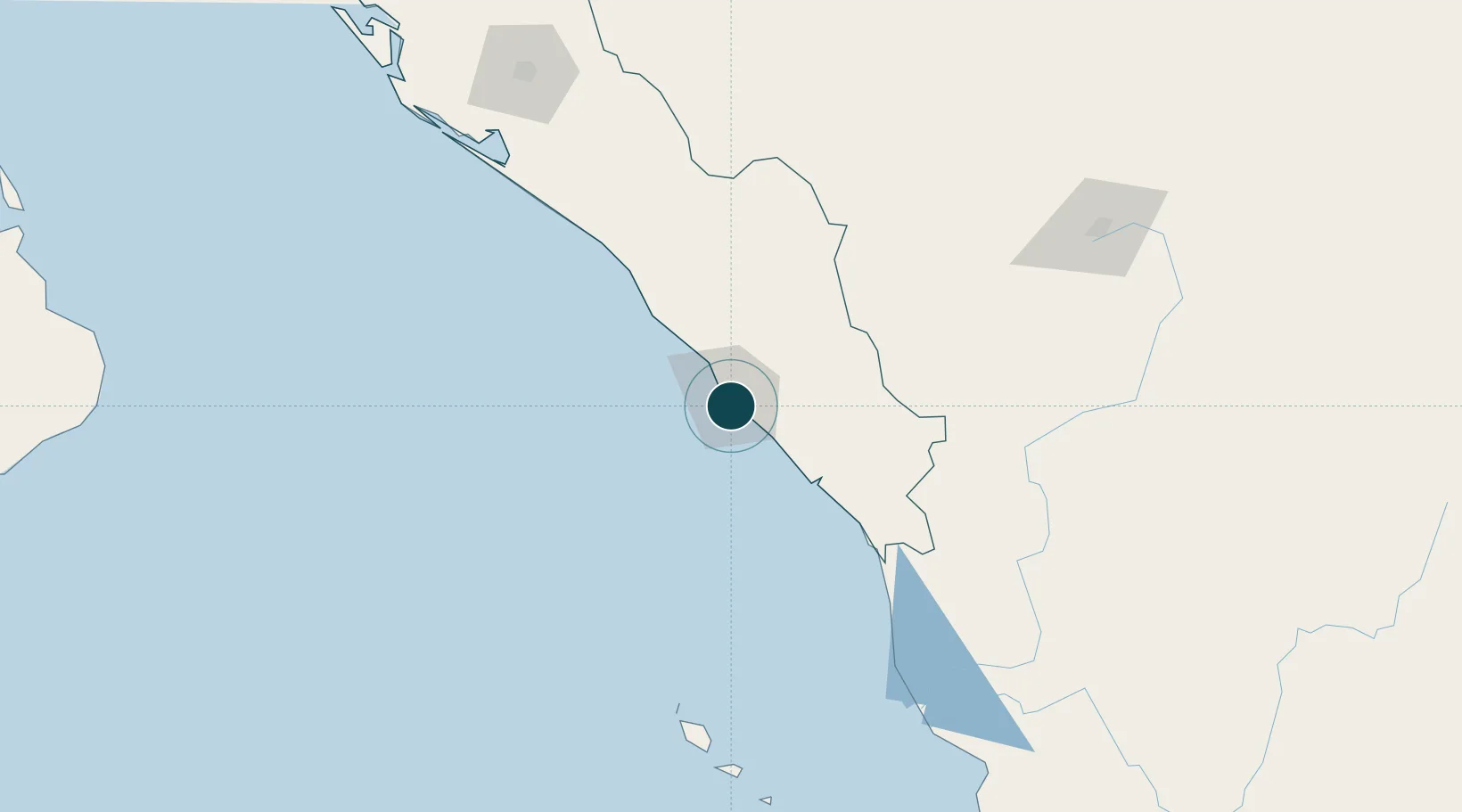
23.2000°, -106.4167°
11.0 m
Channel depth
1
Container terminals
9.7
Port liner connectivity
Channel & Berth Profile
Pilotage, Tugs & Services
Pilotage compulsoryYES
Pilotage availableYES
Pilotage advisableYES
Tug assistanceYES
Shore powerYES
Potable waterYES
Diesel bunkersYES
MedicalYES
Garbage disposalYES
Facilities & Capabilities
Container—
Ro-Ro—
Liquid bulk—
Dry bulk—
Oil terminal—
Break bulk—
Dry dock—
RepairsNO
BunkeringYES
Rail linkYES
Dangerous cargo—
ISPS security—
Harbour Specifications
Harbour size
Medium
Harbour type
River (Natural)
Shelter
Good
Water body
North Pacific Ocean
Tidal range
1 m
Overhead limit
No
Pilotage
Yes
Liner Connectivity
9.7
PLSCI
Port Liner Shipping Connectivity Index for Mazatlan, as published by UNCTAD for the latest available quarter. Higher values indicate stronger scheduled liner-shipping integration.
Shown relative to the highest per-port PLSCI in the dataset (1,657.9).
Location
Container Terminals · 1
TERMINAL MARITIMA DE MAZATLAN
TMAZ
Nearby Logistics Neighbours
Ports
- 1Puerto Vallarta311 km
- 2Topolobampo378 km
- 3La Paz411 km
- 4Pichilingue416 km
- 5San Juan De La Costa456 km
Cities
- 1Puerta20 km
- 2Santa Teresa191 km
- 3Culiacán202 km
- 4Tamaulipas223 km
- 5Punta de Mita286 km
Airports
Trade Zones
- 1The Special Economic Zone of Lázaro Cárdenas - La Unión734 km
- 2FTZ No. 095 Starr County844 km
- 3FTZ No. 094 Laredo849 km
- 4FTZ No. 096 Eagle Pass850 km
- 5FTZ No. 012 McAllen886 km
DatabookThe Record of Consolidated Knowledge
Mexico beyond logistics?