Runway & Layout
Airport Specifications
Airport class
Small airport
Scheduled service
Yes
Served city
Tuxcacuesco
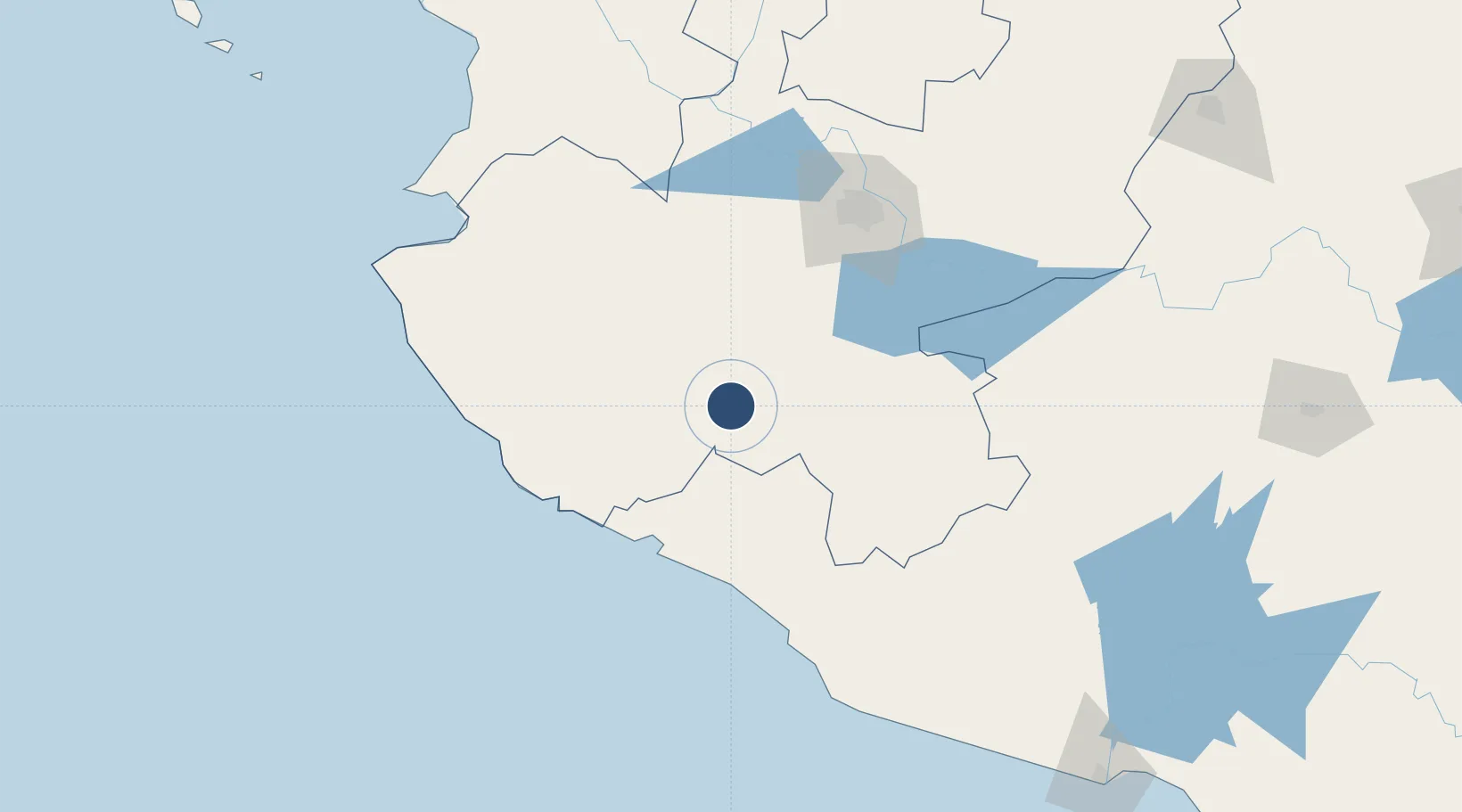
Location
Nearby Logistics Neighbours
Airports
Cities
- 1Ciudad Guzmán55 km
- 2Villa Corona68 km
- 3Cuautla68 km
- 4Manzanillo79 km
- 5Acatlán de Juárez87 km
Ports
- 1Manzanillo84 km
- 2Puerto Vallarta167 km
- 3Lazaro Cardenas276 km
- 4Mazatlan461 km
- 5Acapulco534 km
Trade Zones
- 1The Special Economic Zone of Lázaro Cárdenas - La Unión276 km
- 2FTZ No. 095 Starr County908 km
- 3FTZ No. 012 McAllen922 km
- 4FTZ No. 156 Weslaco939 km
- 5FTZ No. 157 Casper939 km
DatabookThe Record of Consolidated Knowledge
Mexico beyond logistics?