Large airport · Mexico

Puerto Vallarta International AirportMMPR

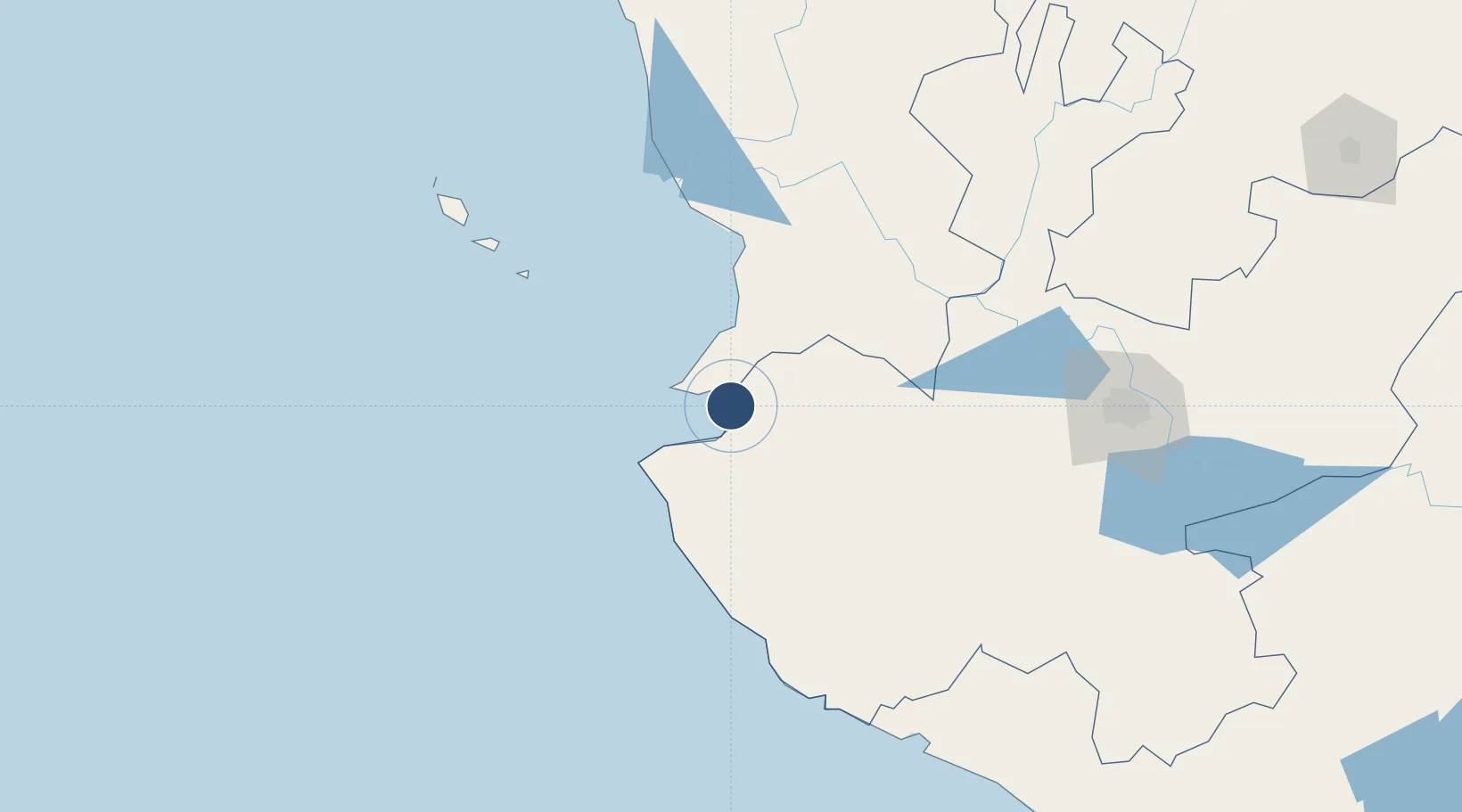
20.6799°, -105.2544°
10,171 ft
Longest runway
1
Runways
23 ft
Elevation

Runway & Layout

Puerto Vallarta International Airport runway & taxiway layout
Runway & taxiway layout — OpenStreetMap (ODbL) / OurAirports

Radio Frequencies

ATIS
127.5 MHz
VALLARTA ATIS
TWR
118.5 MHz
VALLARTA TWR
APP
121.3 MHz
VALLARTA APP
OurAirports

Navaids

PVR VOR-DME Vallarta 116.60 MHz
OurAirports

Runways · 1

RunwayDimensions SurfaceTrue headingLit
04/22 10,171 × 148ft Asphalt 047°
OurAirports

Airport Specifications

IATA code
PVR
OurAirports
ICAO code
MMPR
OurAirports
Airport class
Large airport
OurAirports
Scheduled service
Yes
OurAirports
Runway surface
Asphalt
OurAirports
Served city
Puerto Vallarta
OurAirports

Location

Location of MMPR
Natural Earth 10m (public domain) · Jalisco · MMPR · 20.68, -105.25GoogleOSMYandex

Nearby Logistics Neighbours

Airports
  1. 1Amado Nervo National Airport93 km
  2. 2Agricola La Tuxcana Airport170 km
  3. 3Playa de Oro International Airport186 km
  4. 4Unitec Guadalajara Helipad187 km
  5. 5Guadalajara International Airport203 km
Nearest neighbours — logibook spatial index (haversine) over the source coordinates
Cities
  1. 1Puerto Vallarta10 km
  2. 2Bahía de Banderas13 km
  3. 3Punta de Mita29 km
  4. 4Cuautla104 km
  5. 5Magdalena/Hostotipaquillo138 km
Nearest neighbours — logibook spatial index (haversine) over the source coordinates
Ports
  1. 1Puerto Vallarta7 km
  2. 2Manzanillo206 km
  3. 3Mazatlan305 km
  4. 4Lazaro Cardenas445 km
  5. 5La Paz649 km
Nearest neighbours — logibook spatial index (haversine) over the source coordinates
Trade Zones
  1. 1The Special Economic Zone of Lázaro Cárdenas - La Unión445 km
  2. 2FTZ No. 095 Starr County912 km
  3. 3FTZ No. 012 McAllen937 km
  4. 4FTZ No. 156 Weslaco956 km
  5. 5FTZ No. 157 Casper956 km
Nearest neighbours — logibook spatial index (haversine) over the source coordinates
DatabookThe Record of Consolidated Knowledge
Mexico beyond logistics?
Browse databook

All Sources

AirportsOurAirports
Public domain
Portsthe NGA World Port Index
Public domain (US gov)
LocationsUN/LOCODE
UN/LOCODE — free
Trade Zonesthe World Bank SEZ database
CC BY 4.0
Trade ZonesOpen Zone Map
CC BY
InfrastructureOpenStreetMap
ODbL 1.0
← Mexico airports