Economic Revitalization Project · Mexico

The Special Economic Zone of Lázaro Cárdenas - La Unión Inactive

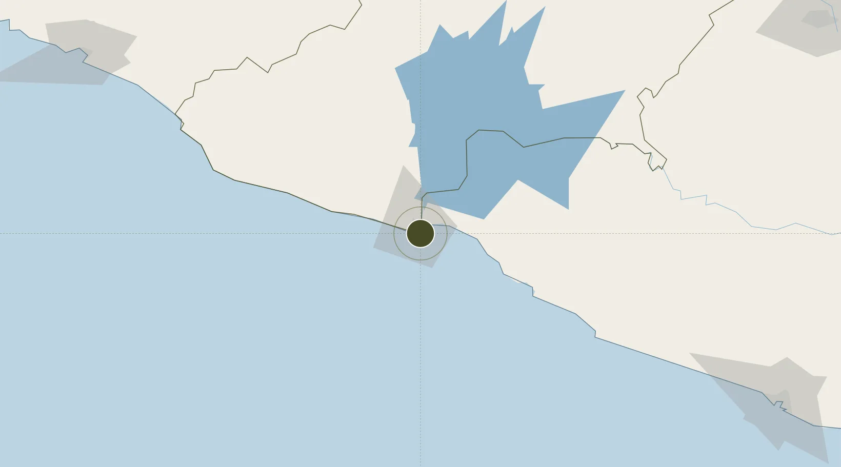
17.9266°, -102.1736°
8,483 ha
Zone area
1.0 km
Nearest port
9.7 km
Nearest airport

Gateway access

Nearest neighbours — logibook spatial index (haversine) over the source coordinates

Zone profile

Zone type
Economic Revitalization Project
Open Zone Map
Region
Michoacán
Open Zone Map
Status
Inactive
Open Zone Map
Management
Public
Open Zone Map
Operator
Autoridad Federal para el Desarrollo de las Zonas Económicas Especiales
Open Zone Map
Legal framework
Established in DOF: 29/09/2017 - Abolished in DOF: 19/11/2019
Open Zone Map

Location

Location of ozm-2847
Natural Earth 10m (public domain) · Michoacán · ozm-2847 · 17.93, -102.17GoogleOSMYandex

Nearby Logistics Neighbours

Ports
  1. 1Lazaro Cardenas1 km
  2. 2Manzanillo258 km
  3. 3Acapulco266 km
  4. 4Puerto Vallarta441 km
  5. 5Tuxpan603 km
Nearest neighbours — logibook spatial index (haversine) over the source coordinates
Cities
  1. 1Lázaro Cárdenas4 km
  2. 2Antunez60 km
  3. 3Ixtapa/Zihuatanejo63 km
  4. 4Zihuatanejo74 km
  5. 5Uruapan del Progreso166 km
Nearest neighbours — logibook spatial index (haversine) over the source coordinates
Trade Zones
  1. 1Special Economic Zone of Salina Cruz762 km
  2. 2Special Economic Zone of Coatzacoalcos812 km
  3. 3Zona Economica Especial de Tabasco944 km
  4. 4FTZ No. 012 McAllen999 km
  5. 5FTZ No. 095 Starr County1001 km
Nearest neighbours — logibook spatial index (haversine) over the source coordinates
DatabookThe Record of Consolidated Knowledge
Mexico beyond logistics?
Browse databook

All Sources

Trade ZonesOpen Zone Map
CC BY
Portsthe NGA World Port Index
Public domain (US gov)
AirportsOurAirports
Public domain
LocationsUN/LOCODE
UN/LOCODE — free
← Mexico trade zones