UN/LOCODE hub · Mexico
MXMZT
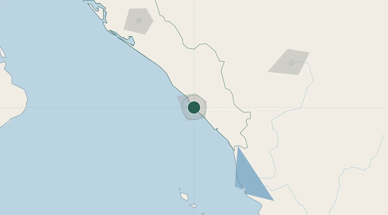
Mazatlan
23.2331°, -106.4101°
381,583
Population
2
Transport functions
1
Container terminals
Transport Functions
Port
Airport
Hub Profile
Place type
Provincial seat
Region
Sinaloa
Population
381,583
Time zone
America/Mazatlan
Elevation
1 m
Logistics facilities
3
Container terminals
1
Location
Nearby Logistics Neighbours
Cities
- 1Puerta17 km
- 2Santa Teresa192 km
- 3Culiacán199 km
- 4Tamaulipas220 km
- 5Punta de Mita289 km
Ports
- 1Puerto Vallarta314 km
- 2Topolobampo376 km
- 3La Paz411 km
- 4Pichilingue416 km
- 5San Juan De La Costa455 km
Airports
Trade Zones
- 1The Special Economic Zone of Lázaro Cárdenas - La Unión737 km
- 2FTZ No. 095 Starr County842 km
- 3FTZ No. 094 Laredo846 km
- 4FTZ No. 096 Eagle Pass847 km
- 5FTZ No. 012 McAllen884 km
DatabookThe Record of Consolidated Knowledge
Mexico beyond logistics?