Large airport · Mexico

General Rafael Buelna International AirportMMMZ

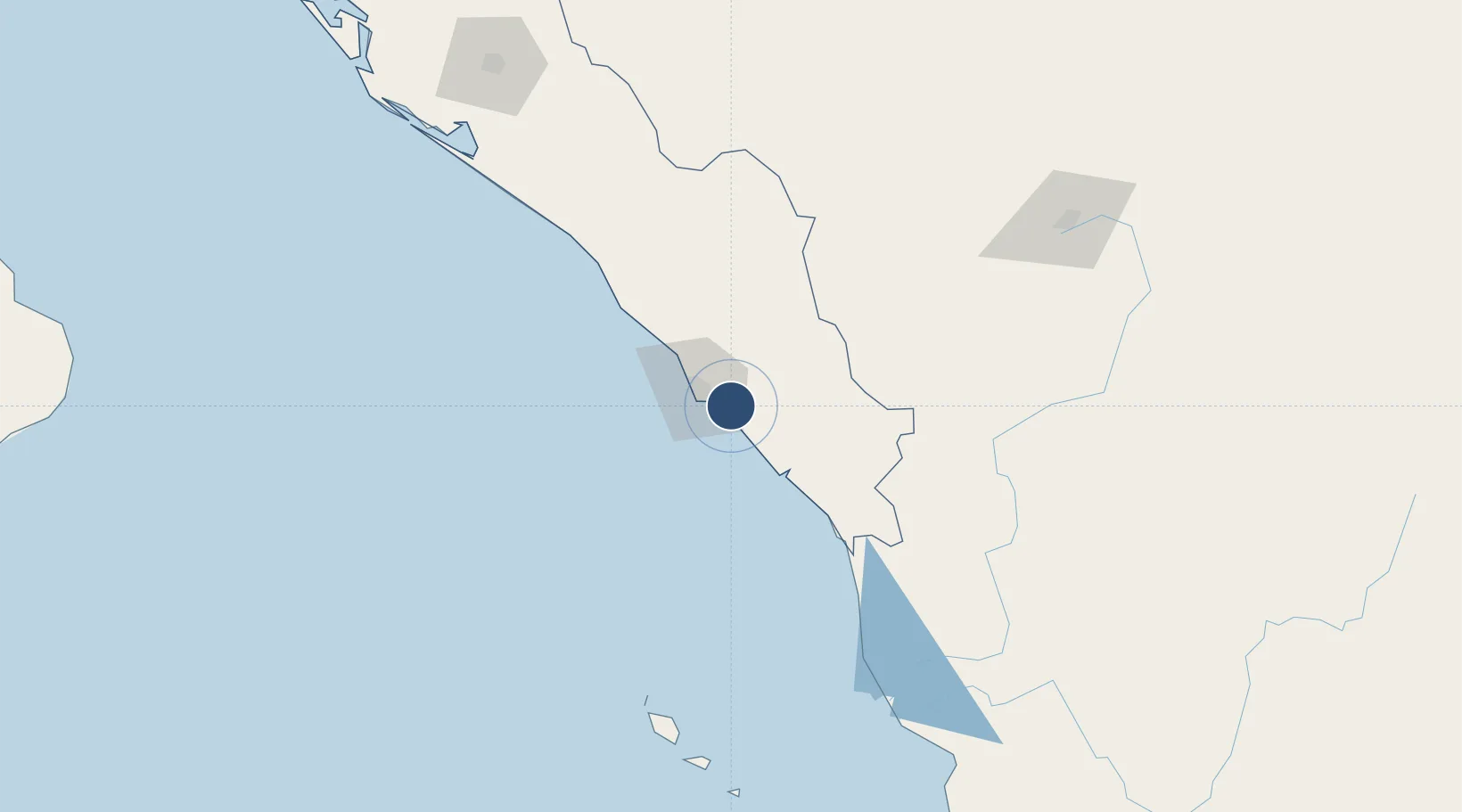
23.1628°, -106.2645°
8,868 ft
Longest runway
1
Runways
38 ft
Elevation

Runway & Layout

General Rafael Buelna International Airport runway & taxiway layout
Runway & taxiway layout — OpenStreetMap (ODbL) / OurAirports

Radio Frequencies

ATIS
127.7 MHz
TWR
118.3 MHz
MAZATLAN TWR
APP
121.2 MHz
MAZATLAN APP
OurAirports

Navaids

MZT VOR-DME Mazatlan 114.90 MHz
OurAirports

Runways · 1

RunwayDimensions SurfaceTrue headingLit
09/27 8,868 × 197ft Asphalt 093°
OurAirports

Airport Specifications

IATA code
MZT
OurAirports
ICAO code
MMMZ
OurAirports
Airport class
Large airport
OurAirports
Scheduled service
Yes
OurAirports
Runway surface
Asphalt
OurAirports
Served city
Mazatlàn
OurAirports

Location

Location of MMMZ
Natural Earth 10m (public domain) · Sinaloa · MMMZ · 23.16, -106.26GoogleOSMYandex

Nearby Logistics Neighbours

Airports
  1. 1General Guadalupe Victoria International Airport207 km
  2. 2Bachigualato Federal International Airport217 km
  3. 3Amado Nervo National Airport243 km
  4. 4Puerto Vallarta International Airport295 km
  5. 5Los Cabos International Airport353 km
Nearest neighbours — logibook spatial index (haversine) over the source coordinates
Cities
  1. 1Mazatlan17 km
  2. 2Puerta24 km
  3. 3Santa Teresa175 km
  4. 4Culiacán213 km
  5. 5Tamaulipas235 km
Nearest neighbours — logibook spatial index (haversine) over the source coordinates
Ports
  1. 1Mazatlan16 km
  2. 2Puerto Vallarta301 km
  3. 3Topolobampo392 km
  4. 4La Paz428 km
  5. 5Pichilingue432 km
Nearest neighbours — logibook spatial index (haversine) over the source coordinates
Trade Zones
  1. 1The Special Economic Zone of Lázaro Cárdenas - La Unión721 km
  2. 2FTZ No. 095 Starr County832 km
  3. 3FTZ No. 094 Laredo839 km
  4. 4FTZ No. 096 Eagle Pass843 km
  5. 5FTZ No. 012 McAllen873 km
Nearest neighbours — logibook spatial index (haversine) over the source coordinates
DatabookThe Record of Consolidated Knowledge
Mexico beyond logistics?
Browse databook

All Sources

AirportsOurAirports
Public domain
Portsthe NGA World Port Index
Public domain (US gov)
LocationsUN/LOCODE
UN/LOCODE — free
Trade Zonesthe World Bank SEZ database
CC BY 4.0
Trade ZonesOpen Zone Map
CC BY
InfrastructureOpenStreetMap
ODbL 1.0
← Mexico airports