Medium airport · Mexico

General Guadalupe Victoria International AirportMMDO

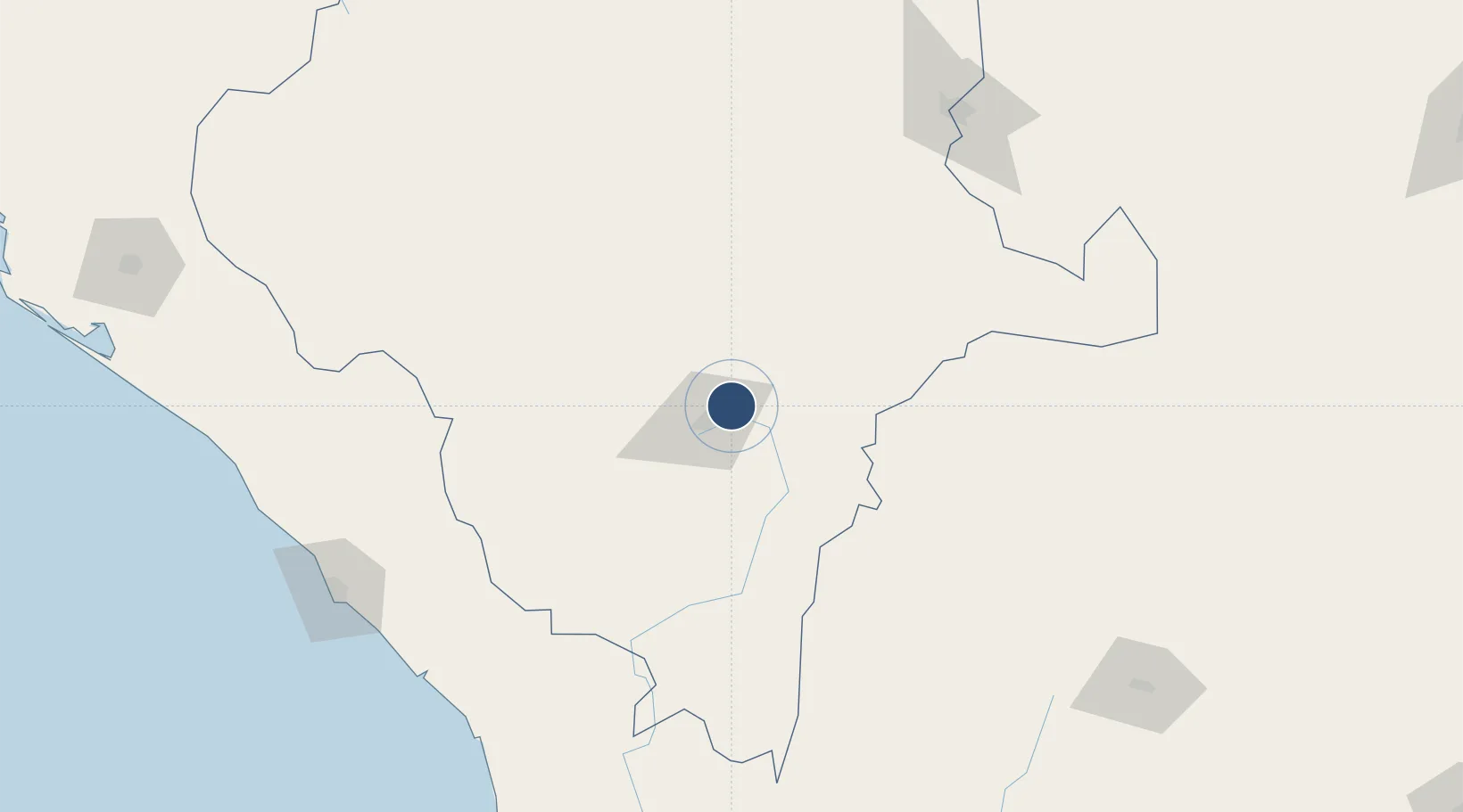
24.1255°, -104.5279°
9,514 ft
Longest runway
1
Runways
6,104 ft
Elevation

Runway & Layout

General Guadalupe Victoria International Airport runway & taxiway layout
Runway & taxiway layout — OpenStreetMap (ODbL) / OurAirports

Radio Frequencies

ATIS
132.1 MHz
TWR
118.1 MHz
OurAirports

Navaids

DGO VOR-DME Durango 112.90 MHz
OurAirports

Runways · 1

RunwayDimensions SurfaceTrue headingLit
03/21 9,514 × 148ft Asphalt 038°
OurAirports

Airport Specifications

IATA code
DGO
OurAirports
ICAO code
MMDO
OurAirports
Airport class
Medium airport
OurAirports
Scheduled service
Yes
OurAirports
Runway surface
Asphalt
OurAirports
Served city
Durango
OurAirports

Location

Location of MMDO
Natural Earth 10m (public domain) · Durango · MMDO · 24.13, -104.53GoogleOSMYandex

Nearby Logistics Neighbours

Airports
  1. 1Francisco Sarabia Tinoco International Airport196 km
  2. 2General Rafael Buelna International Airport207 km
  3. 3General Leobardo C. Ruiz International Airport232 km
  4. 4Cedros Airport282 km
  5. 5Amado Nervo National Airport303 km
Nearest neighbours — logibook spatial index (haversine) over the source coordinates
Cities
  1. 1Atotonilco103 km
  2. 2Santa Teresa186 km
  3. 3Jalisco188 km
  4. 4Fresnillo200 km
  5. 5Puerta202 km
Nearest neighbours — logibook spatial index (haversine) over the source coordinates
Ports
  1. 1Mazatlan218 km
  2. 2Puerto Vallarta398 km
  3. 3Topolobampo486 km
  4. 4Manzanillo565 km
  5. 5La Paz587 km
Nearest neighbours — logibook spatial index (haversine) over the source coordinates
Trade Zones
  1. 1FTZ No. 095 Starr County626 km
  2. 2FTZ No. 094 Laredo634 km
  3. 3FTZ No. 096 Eagle Pass647 km
  4. 4FTZ No. 012 McAllen669 km
  5. 5FTZ No. 156 Weslaco693 km
Nearest neighbours — logibook spatial index (haversine) over the source coordinates
DatabookThe Record of Consolidated Knowledge
Mexico beyond logistics?
Browse databook

All Sources

AirportsOurAirports
Public domain
Portsthe NGA World Port Index
Public domain (US gov)
LocationsUN/LOCODE
UN/LOCODE — free
Trade Zonesthe World Bank SEZ database
CC BY 4.0
Trade ZonesOpen Zone Map
CC BY
InfrastructureOpenStreetMap
ODbL 1.0
← Mexico airports