Transport Functions
Port
Road
Multimodal
Hub Profile
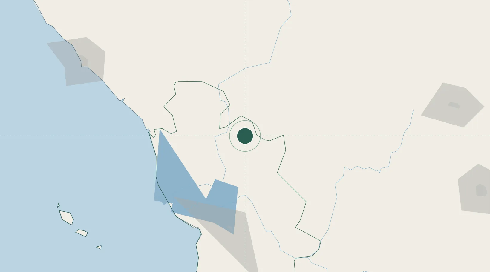
Place type
Populated place
Region
Nayarit
Population
1,558
Time zone
America/Mazatlan
Elevation
2,120 m
Location
Nearby Logistics Neighbours
Cities
- 1Magdalena/Hostotipaquillo190 km
- 2Mazatlan192 km
- 3Puerta192 km
- 4Tequila201 km
- 5Punta de Mita206 km
Ports
- 1Mazatlan191 km
- 2Puerto Vallarta213 km
- 3Manzanillo382 km
- 4Topolobampo561 km
- 5Lazaro Cardenas571 km
Airports
Trade Zones
- 1The Special Economic Zone of Lázaro Cárdenas - La Unión571 km
- 2FTZ No. 095 Starr County740 km
- 3FTZ No. 012 McAllen772 km
- 4FTZ No. 094 Laredo775 km
- 5FTZ No. 156 Weslaco794 km
DatabookThe Record of Consolidated Knowledge
Mexico beyond logistics?