Foreign Trade Zone · United States

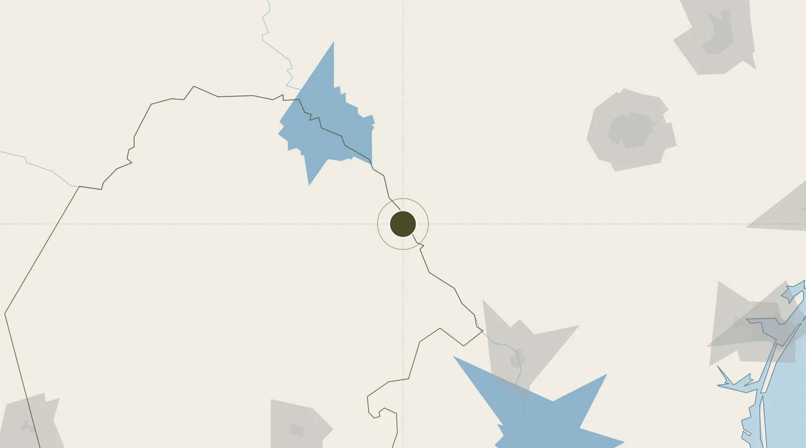
FTZ No. 096 Eagle Pass Active

28.6971°, -100.5034°
319.3 km
Nearest port
8.3 km
Nearest airport

Gateway access

Nearest neighbours — logibook spatial index (haversine) over the source coordinates

Zone profile

Zone type
Foreign Trade Zone
Open Zone Map
Region
Coahuila
Open Zone Map
Status
Active
Open Zone Map
Management
Public-Private Partnership
Open Zone Map
Operator
Maverick Co. Development Corporation
Open Zone Map
Legal framework
Foreign-Trade Zones Act
Open Zone Map

Location

Location of ozm-4956
Natural Earth 10m (public domain) · Coahuila · ozm-4956 · 28.70, -100.50GoogleOSMYandex

Nearby Logistics Neighbours

Ports
  1. 1Corpus Christi319 km
  2. 2Port Ingleside340 km
  3. 3Rockport346 km
  4. 4Port Aransas352 km
  5. 5Port Lavaca379 km
Nearest neighbours — logibook spatial index (haversine) over the source coordinates
Airports
  1. 1Piedras Negras International Airport8 km
  2. 2Laughlin Air Force Base78 km
  3. 3Del Rio International Airport86 km
  4. 4Laredo International Airport164 km
  5. 5Quetzalcóatl International Airport167 km
Nearest neighbours — logibook spatial index (haversine) over the source coordinates
Cities
  1. 1Laughlin Air Force Base78 km
  2. 2Knippa108 km
  3. 3Sabinas112 km
  4. 4Sabinal122 km
  5. 5Dilley130 km
Nearest neighbours — logibook spatial index (haversine) over the source coordinates
Trade Zones
  1. 1FTZ No. 094 Laredo164 km
  2. 2FTZ No. 080 San Antonio188 km
  3. 3FTZ No. 095 Starr County307 km
  4. 4FTZ No. 183 Austin319 km
  5. 5FTZ No. 122 Corpus Christi320 km
Nearest neighbours — logibook spatial index (haversine) over the source coordinates
DatabookThe Record of Consolidated Knowledge
United States beyond logistics?
Browse databook

All Sources

Trade ZonesOpen Zone Map
CC BY
Portsthe NGA World Port Index
Public domain (US gov)
AirportsOurAirports
Public domain
LocationsUN/LOCODE
UN/LOCODE — free
← United States trade zones