Foreign Trade Zone · United States

FTZ No. 094 Laredo Active
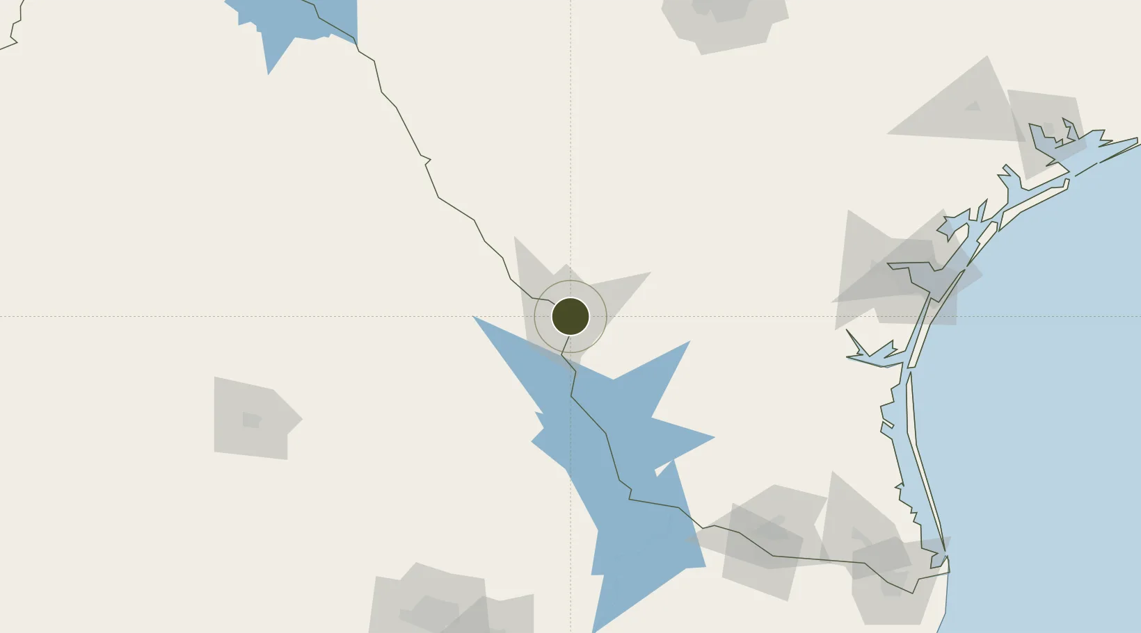
27.5460°, -99.4647°
205.5 km
Nearest port
0.4 km
Nearest airport

Gateway access

Nearest neighbours — logibook spatial index (haversine) over the source coordinates

Zone profile

Zone type
Foreign Trade Zone
Open Zone Map
Region
Texas
Open Zone Map
Status
Active
Open Zone Map
Management
Public-Private Partnership
Open Zone Map
Operator
City of Laredo with the Laredo International Airport
Open Zone Map
Legal framework
Foreign-Trade Zones Act
Open Zone Map

Location

Location of ozm-4937
Natural Earth 10m (public domain) · Texas · ozm-4937 · 27.55, -99.46GoogleOSMYandex

Nearby Logistics Neighbours

Ports
  1. 1Corpus Christi206 km
  2. 2Port Ingleside227 km
  3. 3Port Aransas240 km
  4. 4Rockport243 km
  5. 5Brownsville271 km
Nearest neighbours — logibook spatial index (haversine) over the source coordinates
Airports
  1. 1Laredo International Airport0 km
  2. 2Quetzalcóatl International Airport15 km
  3. 3Alice International Airport143 km
  4. 4Piedras Negras International Airport160 km
  5. 5Kingsville Naval Air Station163 km
Nearest neighbours — logibook spatial index (haversine) over the source coordinates
Cities
  1. 1Nuevo Laredo7 km
  2. 2Colombia33 km
  3. 3Oilton50 km
  4. 4Hebbronville82 km
  5. 5San Diego124 km
Nearest neighbours — logibook spatial index (haversine) over the source coordinates
Trade Zones
  1. 1FTZ No. 095 Starr County145 km
  2. 2FTZ No. 096 Eagle Pass164 km
  3. 3FTZ No. 012 McAllen195 km
  4. 4FTZ No. 122 Corpus Christi206 km
  5. 5FTZ No. 156 Weslaco211 km
Nearest neighbours — logibook spatial index (haversine) over the source coordinates
DatabookThe Record of Consolidated Knowledge
United States beyond logistics?
Browse databook

All Sources

Trade ZonesOpen Zone Map
CC BY
Portsthe NGA World Port Index
Public domain (US gov)
AirportsOurAirports
Public domain
LocationsUN/LOCODE
UN/LOCODE — free
← United States trade zones