Large airport · Mexico

General Ignacio L. Pesqueira International AirportMMHO

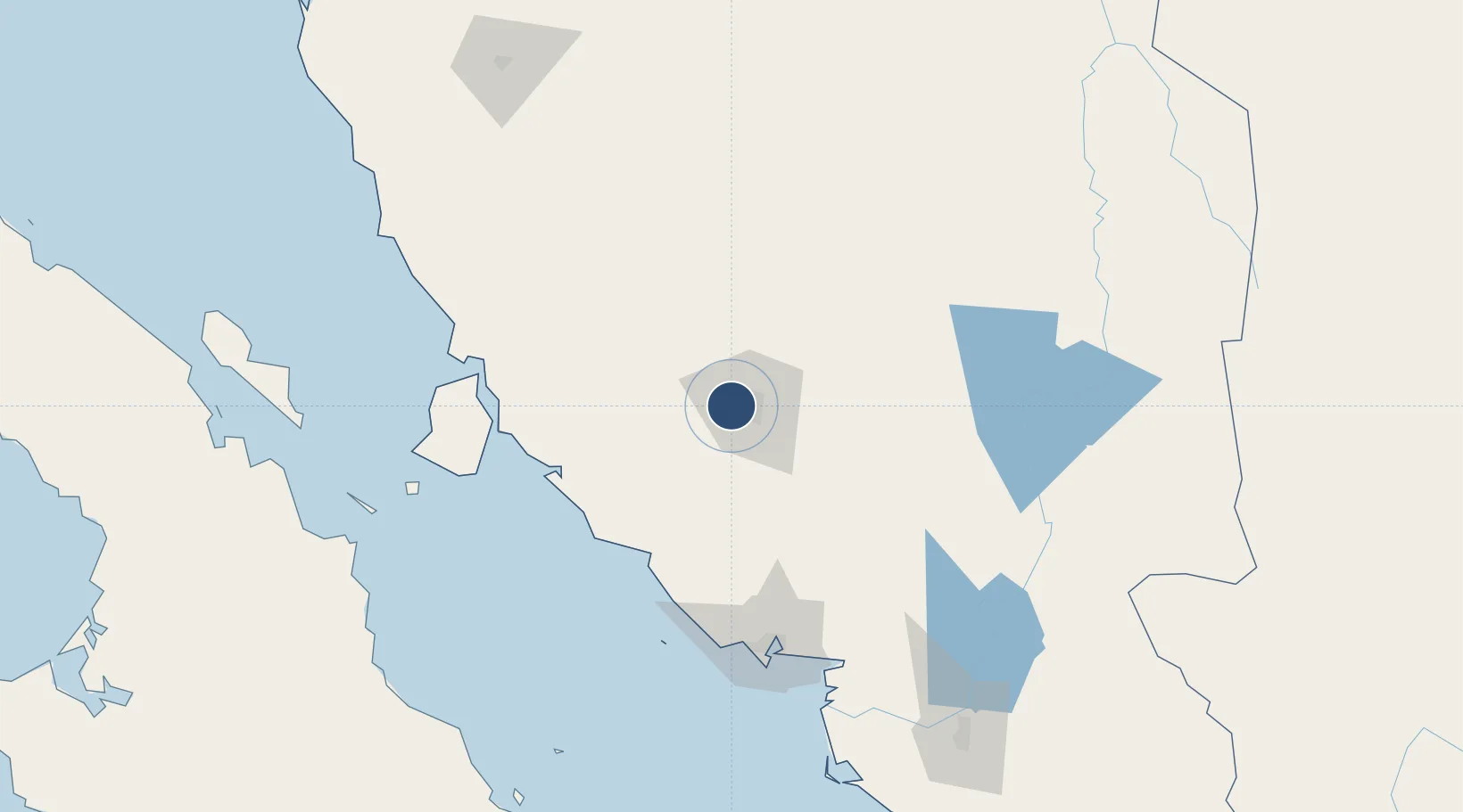
29.0928°, -111.0530°
7,546 ft
Longest runway
1
Runways
627 ft
Elevation

Runway & Layout

General Ignacio L. Pesqueira International Airport runway & taxiway layout
Runway & taxiway layout — OpenStreetMap (ODbL) / OurAirports

Radio Frequencies

ATIS
127.7 MHz
TWR
118.7 MHz
HERMOSILLO TWR
APP
121.4 MHz
HERMOSILLO APP
OurAirports

Navaids

HMO VOR-DME Hermosillo 112.80 MHz
OurAirports

Runways · 1

RunwayDimensions SurfaceTrue headingLit
05/23 7,546 × 148ft Asphalt 059°
OurAirports

Airport Specifications

IATA code
HMO
OurAirports
ICAO code
MMHO
OurAirports
Airport class
Large airport
OurAirports
Scheduled service
Yes
OurAirports
Runway surface
Asphalt
OurAirports
Served city
Hermosillo
OurAirports

Location

Location of MMHO
Natural Earth 10m (public domain) · Sonora · MMHO · 29.09, -111.05GoogleOSMYandex

Nearby Logistics Neighbours

Airports
  1. 1General José María Yáñez International Airport126 km
  2. 2Ciudad Obregón International Airport224 km
  3. 3Nogales International Airport237 km
  4. 4Palo Verde Airport245 km
  5. 5Nogales International Airport259 km
Nearest neighbours — logibook spatial index (haversine) over the source coordinates
Cities
  1. 1Empalme127 km
  2. 2Guaymas132 km
  3. 3Santa Ana132 km
  4. 4Arizpe162 km
  5. 5Magdalena de Kino172 km
Nearest neighbours — logibook spatial index (haversine) over the source coordinates
Ports
  1. 1Guaymas132 km
  2. 2Santa Rosalia230 km
  3. 3Isla San Marcos236 km
  4. 4Puerto Morro Redondo420 km
  5. 5Topolobampo435 km
Nearest neighbours — logibook spatial index (haversine) over the source coordinates
Trade Zones
  1. 1FTZ No. 060 Nogales251 km
  2. 2FTZ No. 139 Sierra Vista283 km
  3. 3FTZ No. 174 Pima County355 km
  4. 4FTZ No. 221 Mesa486 km
  5. 5FTZ No. 075 Phoenix494 km
Nearest neighbours — logibook spatial index (haversine) over the source coordinates
DatabookThe Record of Consolidated Knowledge
Mexico beyond logistics?
Browse databook

All Sources

AirportsOurAirports
Public domain
Portsthe NGA World Port Index
Public domain (US gov)
LocationsUN/LOCODE
UN/LOCODE — free
Trade Zonesthe World Bank SEZ database
CC BY 4.0
Trade ZonesOpen Zone Map
CC BY
InfrastructureOpenStreetMap
ODbL 1.0
← Mexico airports