Transport Functions
Port
Road
Multimodal
Hub Profile
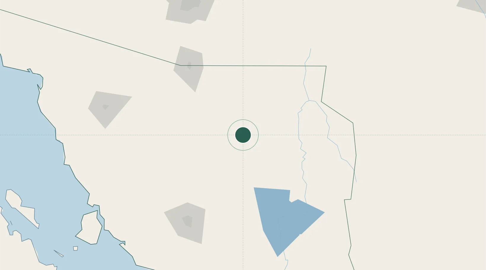
Place type
Provincial seat
Region
Sonora
Population
1,718
Time zone
America/Hermosillo
Elevation
837 m
Location
Nearby Logistics Neighbours
Cities
- 1Santa Ana38 km
- 2Cananea73 km
- 3Magdalena de Kino82 km
- 4Imuris82 km
- 5Agua Prieta122 km
Ports
- 1Guaymas278 km
- 2Santa Rosalia392 km
- 3Isla San Marcos398 km
- 4Topolobampo537 km
- 5Puerto Morro Redondo549 km
Airports
Trade Zones
- 1FTZ No. 060 Nogales134 km
- 2FTZ No. 139 Sierra Vista136 km
- 3FTZ No. 174 Pima County229 km
- 4FTZ No. 197 Dona Ana County352 km
- 5FTZ No. 221 Mesa377 km
DatabookThe Record of Consolidated Knowledge
Mexico beyond logistics?