Transport Functions
Port
Hub Profile
Region
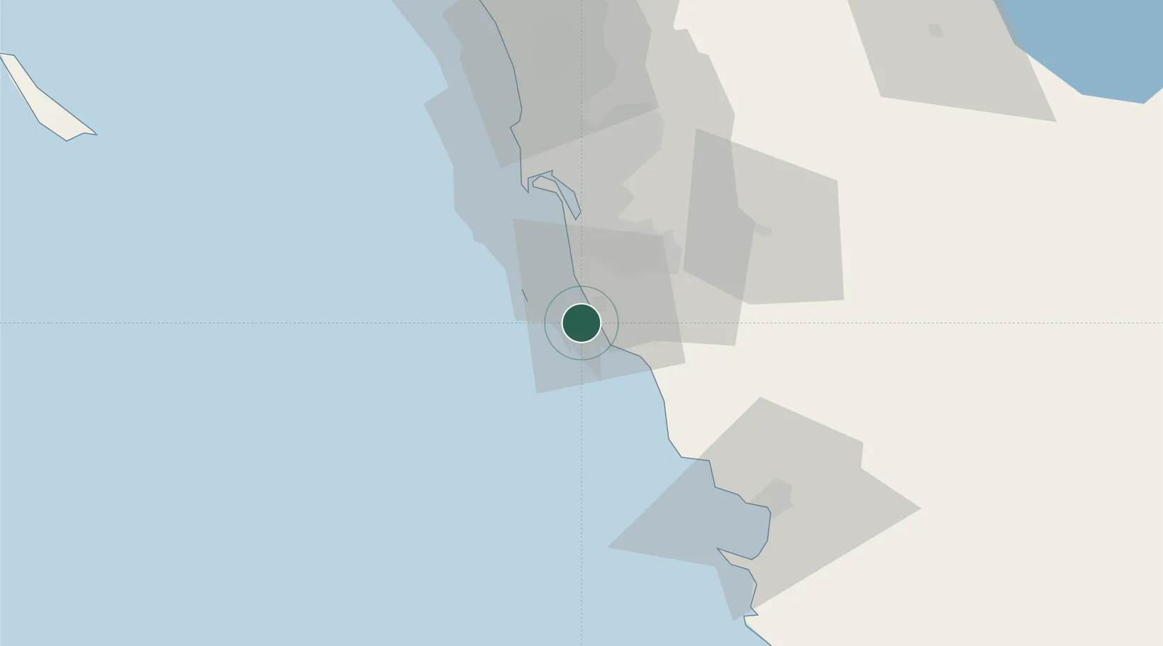
BCN
Location
Nearby Logistics Neighbours
Ports
- 1San Diego43 km
- 2Ensenada68 km
- 3Avalon160 km
- 4Newport Beach161 km
- 5Long Beach189 km
Airports
Trade Zones
- 1FTZ No. 153 San Diego31 km
- 2FTZ No. 257 Imperial County153 km
- 3FTZ No. 236 Palm Springs175 km
- 4FTZ No. 244 Riverside County176 km
- 5FTZ No. 050 Long Beach191 km
DatabookThe Record of Consolidated Knowledge
Mexico beyond logistics?