UN/LOCODE hub · Mexico
MXTIJ

Tijuana

32.4760°, -116.8961°
1,922,523
Population
3
Transport functions

Transport Functions

Port
Road
Airport
UN/LOCODE

Hub Profile

Place type
Provincial seat
GeoNames
Region
Baja California
GeoNames
Population
1,922,523
GeoNames
Time zone
America/Tijuana
GeoNames
Elevation
97 m
GeoNames
Logistics facilities
2
UN/LOCODE

Location

Location of MXTIJ
Natural Earth 10m (public domain) · Baja California · MXTIJ · 32.48, -116.90GoogleOSMYandex

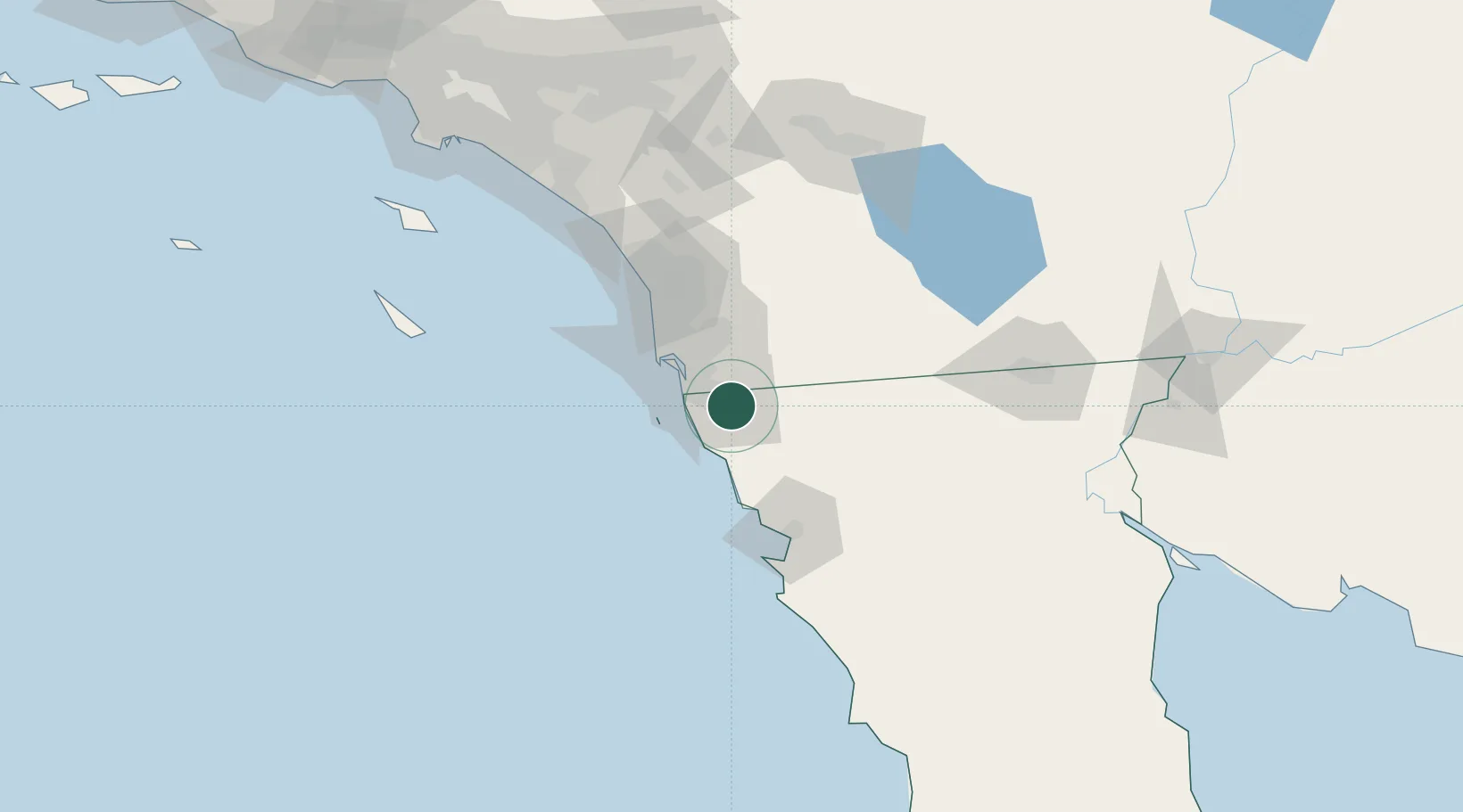
Nearby Logistics Neighbours

Cities
  1. 1Rosarito20 km
  2. 2Dulzura21 km
  3. 3Bonita22 km
  4. 4Rosarito Terminal25 km
  5. 5Spring Valley, San Diego30 km
Nearest neighbours — logibook spatial index (haversine) over the source coordinates
Ports
  1. 1Rosarito23 km
  2. 2San Diego38 km
  3. 3Ensenada72 km
  4. 4Newport Beach158 km
  5. 5Avalon164 km
Nearest neighbours — logibook spatial index (haversine) over the source coordinates
Trade Zones
  1. 1FTZ No. 153 San Diego22 km
  2. 2FTZ No. 257 Imperial County130 km
  3. 3FTZ No. 236 Palm Springs154 km
  4. 4FTZ No. 244 Riverside County164 km
  5. 5FTZ No. 050 Long Beach188 km
Nearest neighbours — logibook spatial index (haversine) over the source coordinates
DatabookThe Record of Consolidated Knowledge
Mexico beyond logistics?
Browse databook

All Sources

LocationsUN/LOCODE
UN/LOCODE — free
LocationsGeoNames
CC BY 4.0
Portsthe NGA World Port Index
Public domain (US gov)
AirportsOurAirports
Public domain
Trade Zonesthe World Bank SEZ database
CC BY 4.0
Trade ZonesOpen Zone Map
CC BY
← Mexico locations