Channel & Berth Profile
Pilotage, Tugs & Services
Pilotage compulsoryYES
Pilotage availableYES
Pilotage advisableYES
Tug assistanceYES
Salvage tugsNO
Shore powerYES
Potable waterNO
Diesel bunkersNO
MedicalYES
Facilities & Capabilities
Container—
Ro-Ro—
Liquid bulk—
Dry bulk—
Oil terminal—
Break bulk—
Dry dock—
Repairs—
BunkeringNO
Rail link—
Dangerous cargo—
ISPS security—
Harbour Specifications
Harbour size
Small
Harbour type
Coastal (Breakwater)
Shelter
Fair
Water body
Gulf of Sidra; Mediterranean Sea; North Atlantic Ocean
Tidal range
1 m
Pilotage
Yes
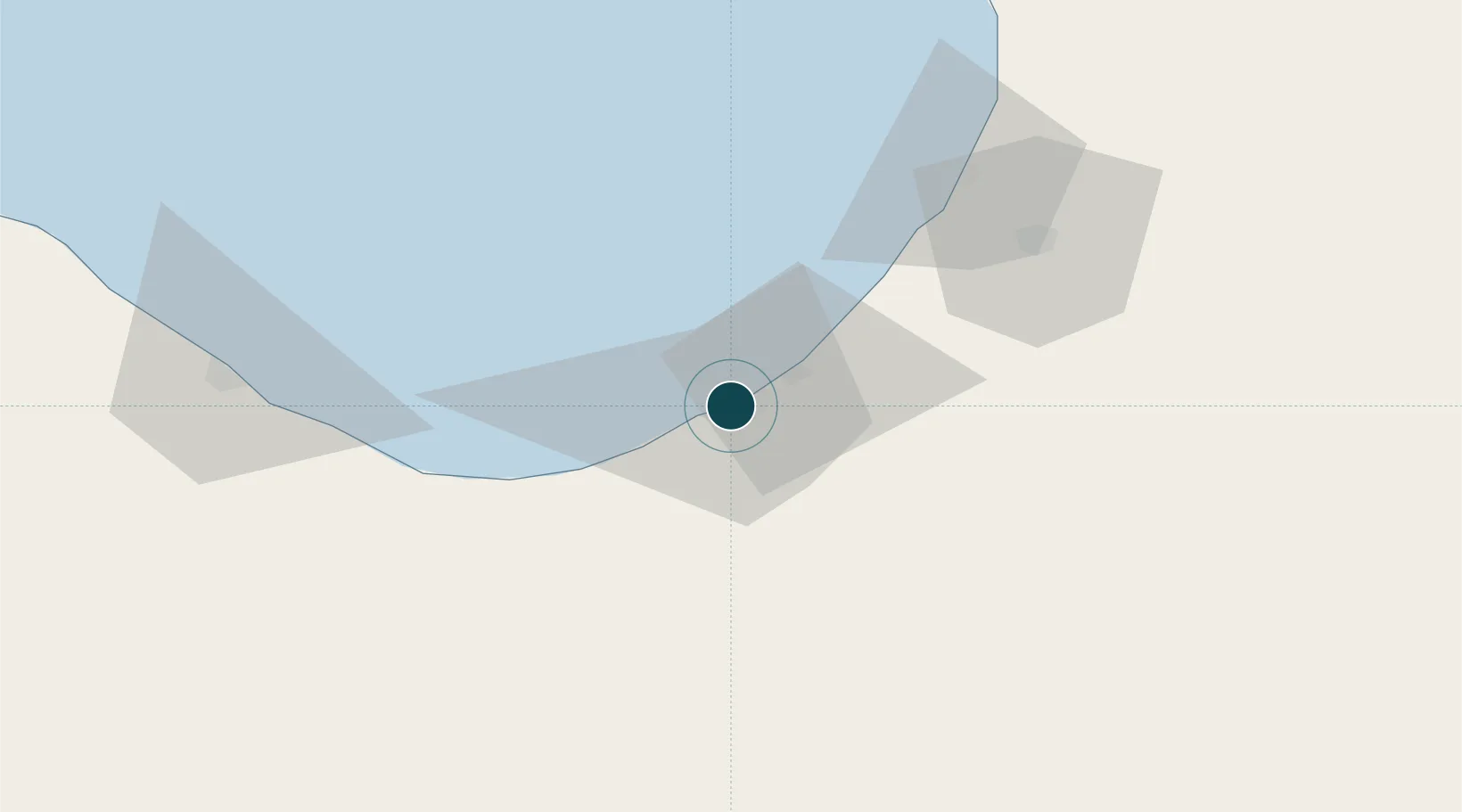
Location
Nearby Logistics Neighbours
Ports
- 1Ez Zueitina65 km
- 2Ras Lanuf100 km
- 3As Sidr121 km
- 4Banghazi194 km
- 5Darnah390 km
Cities
- 1As Sidr121 km
- 2Bingazi (Benghazi)194 km
- 3Banghazi194 km
- 4Bu'ayrat al Hasun385 km
- 5Darnah388 km
Airports
Trade Zones
- 1Elmreisa (Benghazi) Free Zone182 km
- 2Tobruk Free Zone452 km
- 3Misurata Free Zone468 km
- 4Free Zone of Heraklion739 km
- 5Malta Freeport763 km
DatabookThe Record of Consolidated Knowledge
Libya beyond logistics?